July 21, 2019
I had a pretty poor night of sleep because of my sloped, tipping air mattress, and it was muggy all night. I was also restless because small things hopped in the brush throughout the night and the loons yodeled around midnight. We were both exhausted and in no mood to move, but the privy called. My calves were in full lockdown mode as I hobbled across the trail and made use of the facilities. The mosquitoes were already out for blood, biting me on both legs of the short trip. Oakland retrieved our food from the beach and confirmed that the bugs were already out there too. That sealed the deal: we packed up everything but our sleeping pads and ate breakfast in the tent. I checked the weather and found out that we had a high chance of rain. The still, humid air supported that claim and did little to lift our spirits. We finished breakfast and packed up the rest of our gear. I sought refuge in the tent while Oakland made a second privy visit and then we swapped places. The sad dog started to yip around 6:50. That sound haunted me, and I hated that I would never get to find out why the dog barked so much. Was it neglect? Was it just a very opinionated hound dog? My imagination went down some dark alleys, as it is wont to do when it comes to animal welfare. I tried to bring myself back to the present as we began hiking along the edge of flagstaff lake to the sound of a very active vireo and another bird with a high pitched complicated song that I’ve heard before (likely a wren). We could also hear the sound of a motor out on the water.
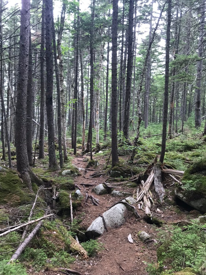
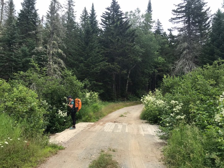
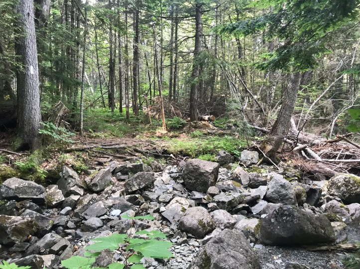
We have 15 miles on the agenda today with a bailout plan around mile 9 at East Carry pond that causes some food supply complications, but is doable as a backup. The morning started with mostly kind footing with a bit of Maine thrown in by way of boulders and roots.
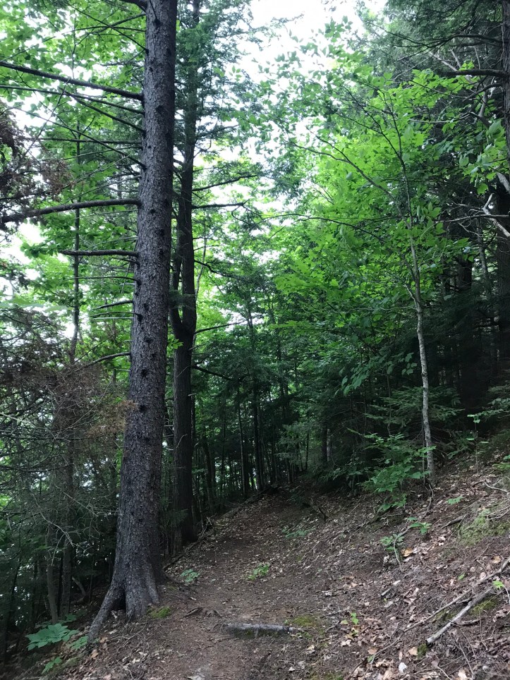

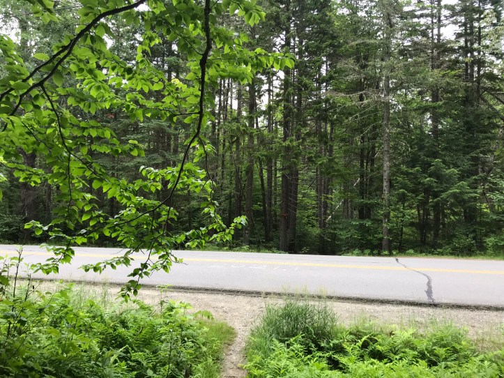
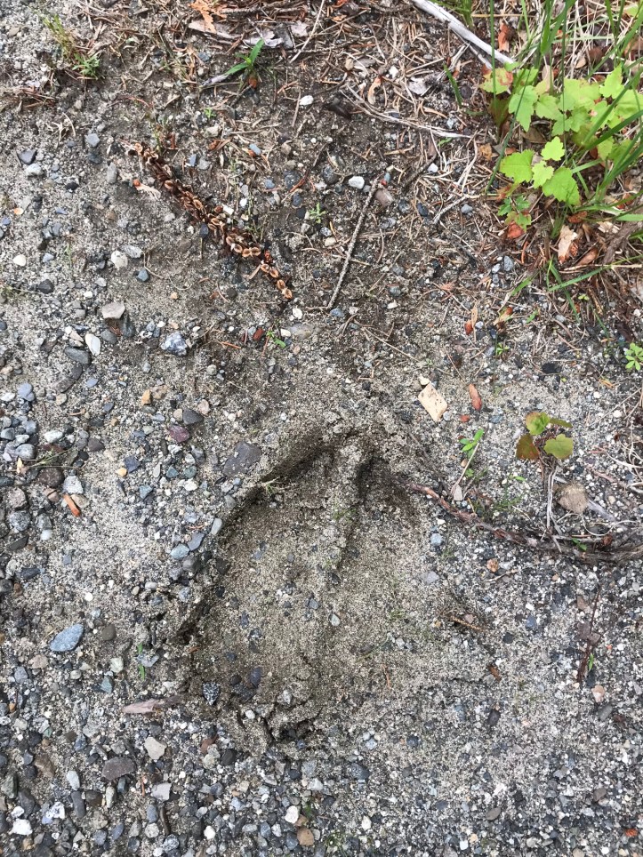
Mosquitoes snacked on us through our clothes, which was painful and infuriating. We sweated profusely up a short hill, which was followed by a reasonable downhill and then took us through a flat green tunnel for a while. I heard scarlet tanager in the treetops. Old leaves littered the trail. The gnats decided to join the mosquitoes in the mission to drive us out of our minds. We crossed a road and passed through a short bog board section before hitting the second major climb of the morning. There were moose prints carved into the mud near the edge of the road.
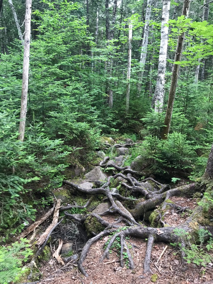
On our way up, we passed a group of teenagers who all moved to the side for us. I kept feeling echoes of day I broke my arm between the gaggle of teenagers and the red berries on a waist high plant that often reached over the trail. The last picture I took before I tripped was of that kind of berry. The hill took longer than I had the patience for, but it wasn’t difficult in the grand scheme of things. Then we went back down, which involved a few rocky, messy stretches. We made a few pitstops for mushroom pictures, obviously:

We sat on comically large log for our morning snack with a nice breeze and slightly fewer bugs. 11.3 to miles to go! It’s never a good sign when you’re already counting mileage at your first break of the day. The trail was forgiving for a while and then devolved into a rocky mess as we approached West Carry pond.
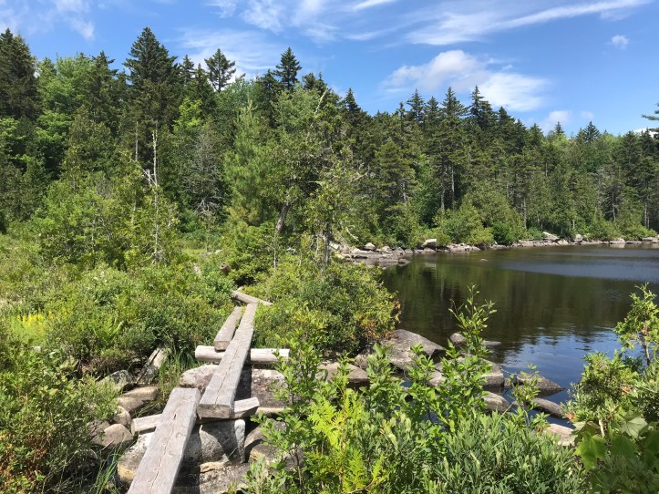
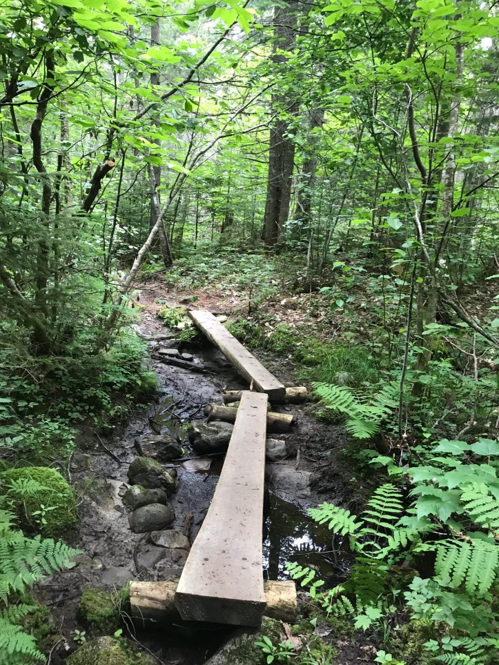
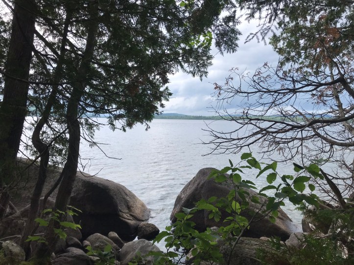
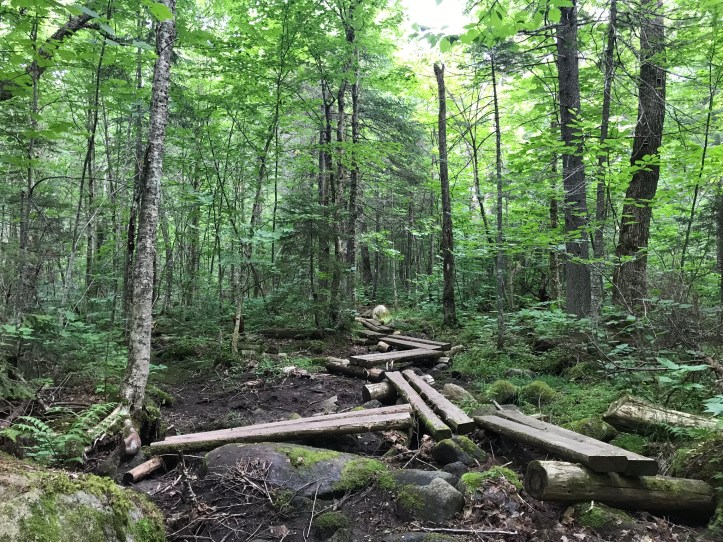
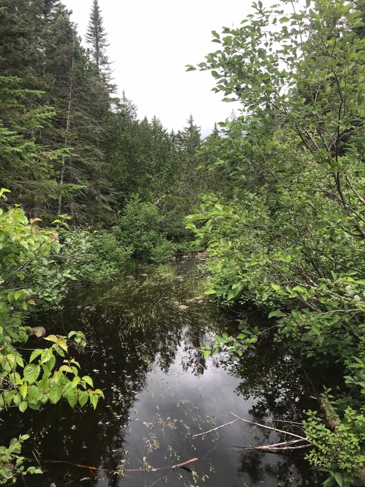
As we crossed a set of bog boards, my foot slipped and my leg ended up between the bog boards. I managed to keep myself from falling sideways and doing who knows what to my ankle. I took a deep breath and put both feet solidly back on the boards before moving on. Here are few views from the trail skirting the edge of the pond:
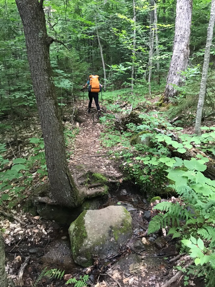
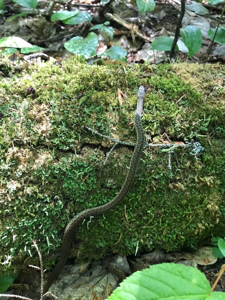
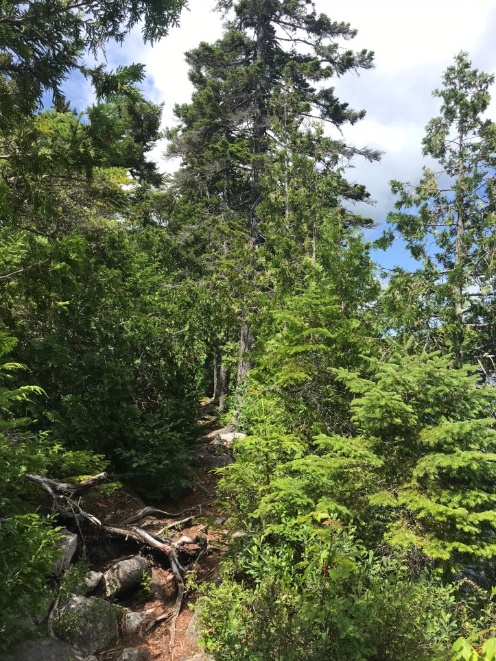
We continued north over rocks and roots through clouds of bugs with a few easier sections, the occasional hodgepodge of bog boards, and a friendly little snake.
We were both starving well before our usual lunch time. We finally dropped our packs at a mediocre lunch spot on a log that sat right next to the trail. We were physically tired and mentally exhausted by the incessant bugs. Oakland’s leg was on fire from mosquito bites and the end of my big toe ached and burned from a bite that had happened with my shoes off at our last break. We didn’t linger at our lunch spot because of the bugs and the desire to keep the tired train moving. The sky darkened as we put on our packs, and I thought for sure we would get rained on. We both put in our ear buds for the distracting comforts of Harry Potter (why – WHY – does JK Rowling have to be an ignorant TERF?). We had 8 miles to go.
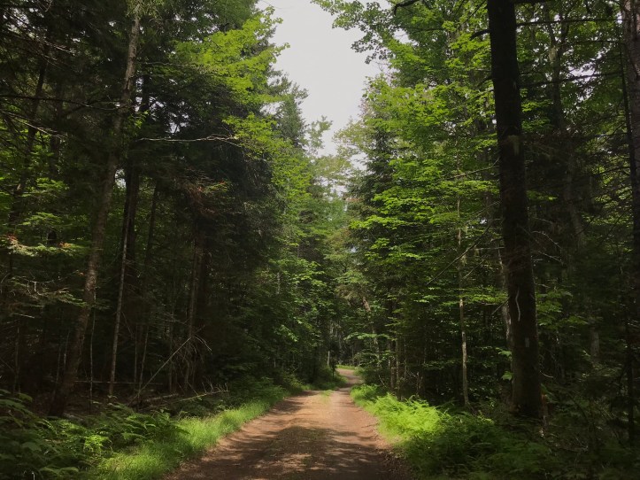
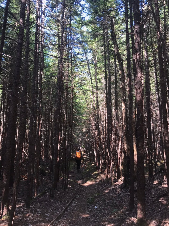
The trail went through boggy stretches and rocky areas as it headed back towards east carry pond. We enjoyed the short, but blissful relief of a logging road where I saw blooming paintbrushes. It felt nice to walk more than two feet without having to scan the ground for obstacles.
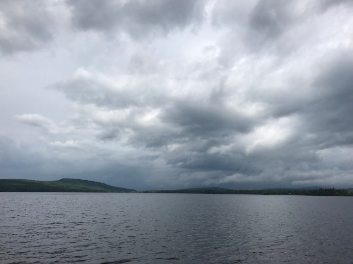
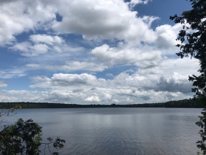
The sky brightened again, which lifted my spirits slightly because it felt like I could temporarily take “getting soaked” off the list of potential grievances. East Carry was a beautiful pond. We wanted to take a swimming break, but it didn’t feel right to get in the water when we were covered in high octane deet, and we felt like we needed to cover miles.
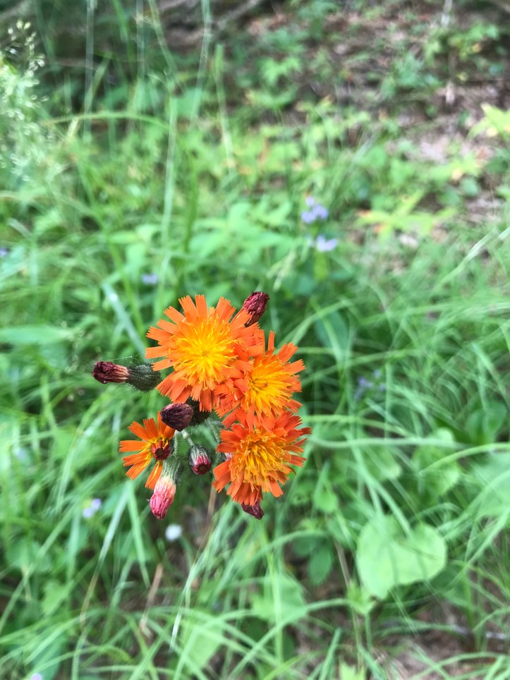
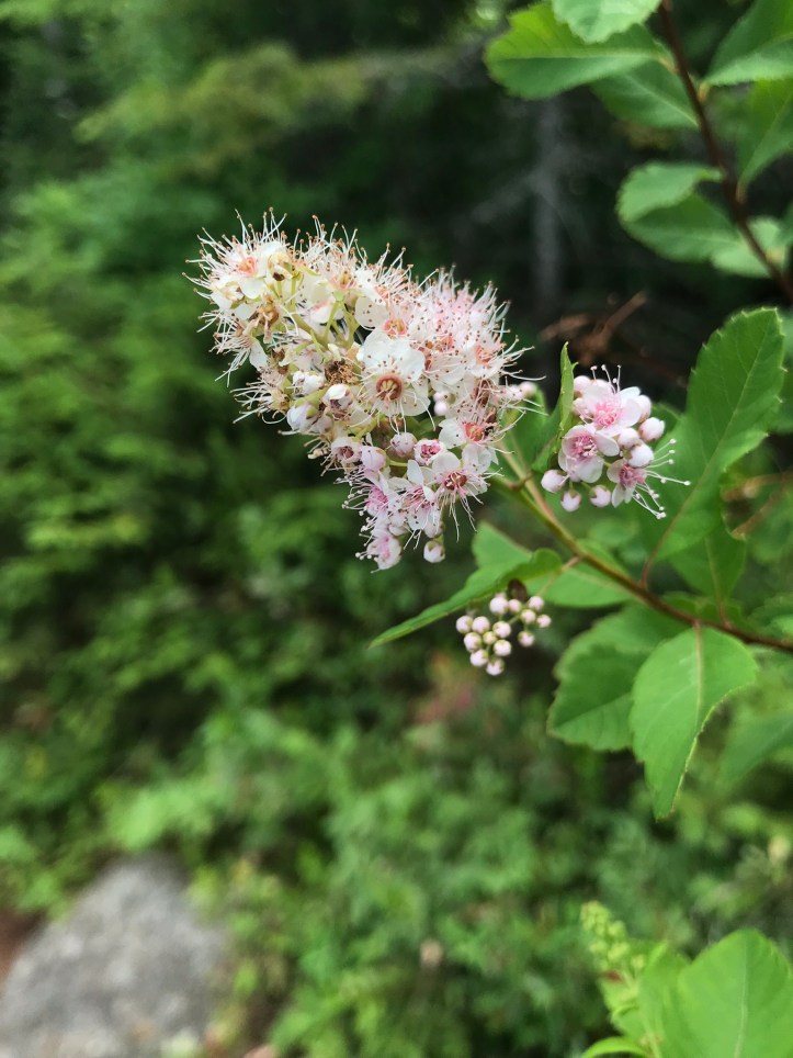
We had both decided that we could push through to our longer goal rather than stop so early in the day and have to deal with a really low food supply. I saw several new flowers around the edge of the pond as we navigated some tricky footing over snarled roots. According to a botanist friend, the purplish green flower belongs to a purple pitcher plant! They flower before the pitchers emerge in spring. Who knew.
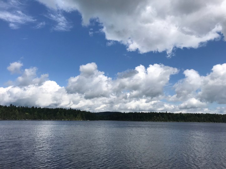

We saw birds out on the water, but they were too far away for us to tell whether they were loons or ducks. At the northwestern edge of the pond we had to cross a long, narrow log bridge with uneven rocks and pond water underneath us. No pressure!

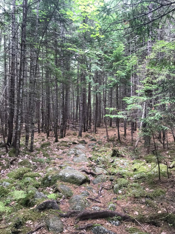
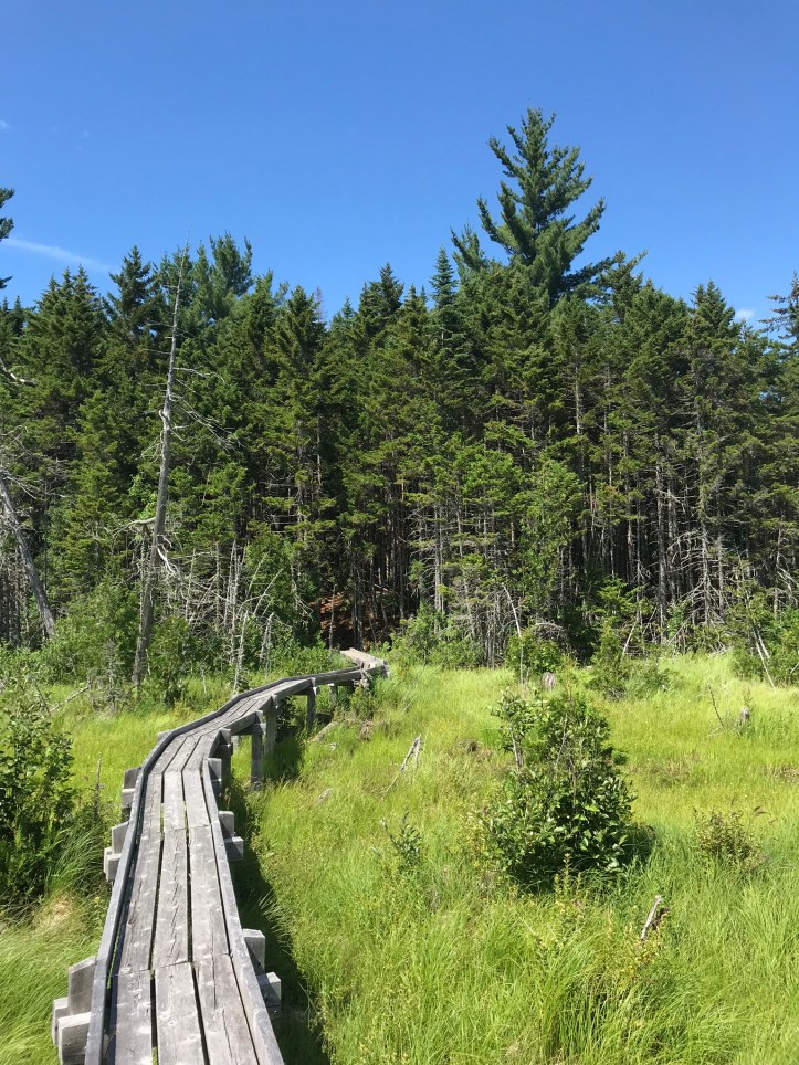
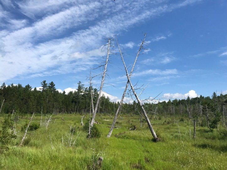
The trail eventually turned away from the pond and went through a wide airy pine forest. There was moose poop everywhere and a handful of muddy hoof prints. We saw another small snake wriggle across the trail. Somewhere along the way, Oakland got bit in the corner of her eye by a mosquito. Talk about insult to injury. We came to a clearing where we crossed a long bog bridge through technicolor greens and blues with a smattering of faded white trees rising up out of the bog at odd angles.

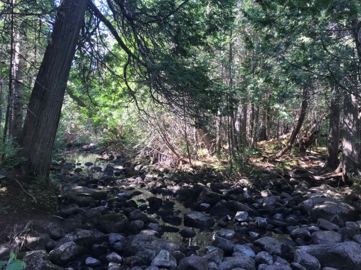
We went up a slight hill into pines and decided it was time for a snack on a low log while continuously swatting at flies and other bugs. 4 miles to go. I had blown past my 900 mile mark without noticing it, and I didn’t end up making my sign today because the bugs were too bad, and I had forgotten about it by the time we got to camp. We saw a handful of SOBOs throughout the early afternoon, but we didn’t get into anything deeper than the weather as we crossed paths. No northbound hikers passed us the entire day. There was a nice breeze on and off as we trudged along. My feet were sore and my whole body felt like it was sagging. Oakland’s shoulder continued to bother her to the point where she was switching between poles and no poles to give her arm a rest from the constant movement. We stopped to get water 0.5 mile north of our break spot at a rocky and slow flowing stream that was teeming with mosquitoes. The water looked almost black in the low light, but it came out mostly clear save the slightly auburn tannic color. We swatted and squeezed our sawyer bags while cursing nature.
We made good time for a little while as the trail took us through pines. We saw a couple of small green snakes and a couple of medium sized ones.
I had just finished yelling at a root that had tripped me when I looked up to find a SOBO a few yards in front of us. He pulled out an earbud and said the usual “how’s it going.” I replied with “oh, just yelling at sticks.” He laughed and repeated what I said as if he hadn’t comprehended the sentence. Maybe I sounded crazy?
An increase in rocks and the occasional mud fest slowed our pace. Oakland checked her map and reported that we had 0.8 miles to go, which seemed too short, but I was happy to hear it. We walked for 10 more minutes and saw another snake along the way. I decided to check my map for water to figure out whether we could rely on a stream or if we had to use the pond as our water source for the evening. That’s when I realized that we were still another 0.9 miles away. Oakland’s map apparently hadn’t refreshed the GPS properly. We were both dejected by the news, which is how you know we’d overcommitted ourselves. If 20 more minutes of hiking seems like the end of the world, you are burnt out, friend.
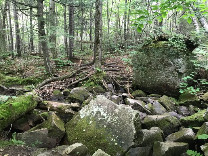
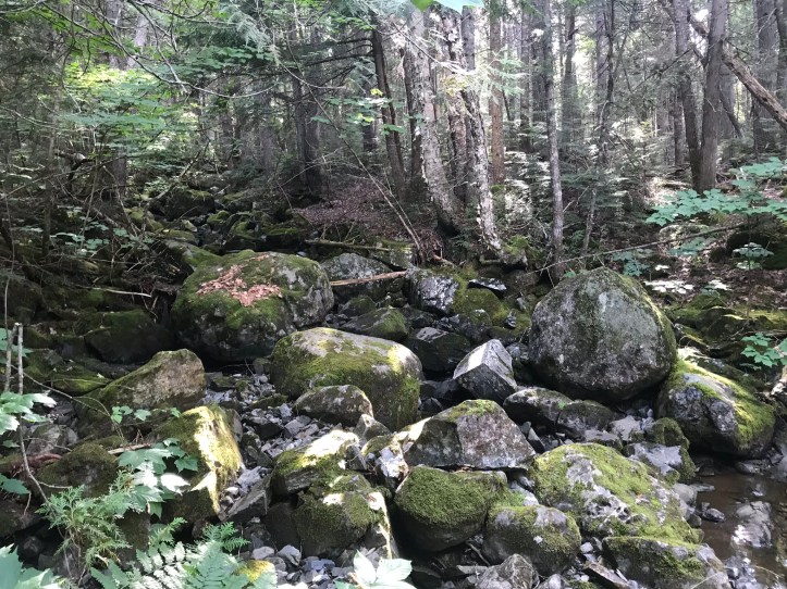
We sat in the middle of the trail in a cloud of mosquitoes and ate emergency snacks. My entire body was getting sore, and I felt so exhausted. I took a moment to pee while we were stopped and then we escaped the mosquito mayhem. There were long stretches of easy trail until we reached a dry stream bed that was a wide swath of annoyingly round rocks. We had to slow down to carefully navigate the rocks until we finally gave up and took the social path that had been cut into the tree line adjacent to the rock bed. I felt bad doing it, but I needed the break. Just to our left, we saw a wide, nearly still stream filled with giant boulders.
We eventually passed the point at which Research and I turned around in 2017 during my quest to get to 1,000 miles. The stream where we’d gotten water in 2017 was now a useless trickle that we didn’t bother to stop at for fear of being eaten alive by more mosquitoes.
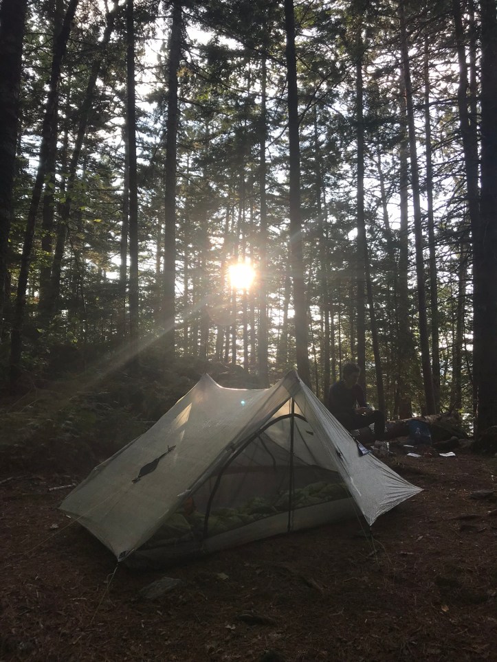
We went up and over roots and back down a small rock scramble that Oakland was horrified I had gone down with a freshly broken arm (no pictures because I was too fried). We made it to the Pierce pond lean-to around 5:30. I honestly did not think we would make it the entire 15 miles when we were stopped for lunch, but here we were, an exhausted and triumphant mess. As we stood at the shelter intersection, I had a quick flashback of standing by that same privy in 2017 with my arm in a splint while we talked to a couple of hikers who wanted to know what in the world we were doing.
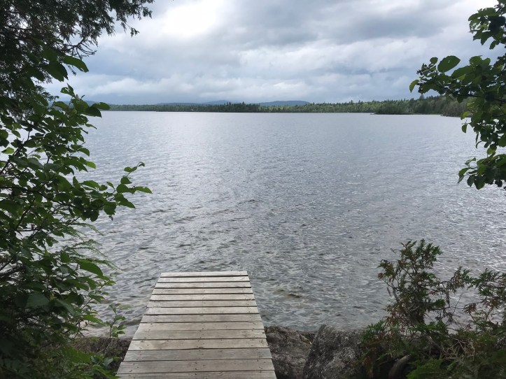
The shelter trail was hard to find in the wide open pine forest to the left of the AT. We puttered around and eventually made it down a short but steep pine needle covered trail that led to the shelter at the edge of the pond. I would have suggested we stay in the shelter to enjoy the view, but the bugs were far too maddening. As we stood there considering our options, we met two SOBOs who immediately asked us about thru hiking, which made us both cringe. Oakland gave her section hiking spiel and went to collect water from the pond to exit the now tedious conversation and to keep our chores moving. Sidenote: these “ponds” are gigantic and to a Californian, they’re more like lakes.
There was at least one boat out on the pond, which didn’t make me feel great about drinking the water, but our source beforehand had been too useless for our patience, so we didn’t have any choice. I told my broken arm story to give context for my “thru in two” hike. When Oakland returned from water duty, we shared some trail info about the Bigelows and I answered their questions about other states. Then we went back up to find a tent spot. The options were pretty unappealing between cramped fishbowls or downhill slopes. We finally settled on the best of the worst. As we pitched the tent, the sky darkened and the wind picked up considerably. We rushed to get the tent up and put our packs inside before it rained. Then we went to threw bear line as the wind gusted. Oakland made it onto our chosen limb after a handful of tries. I didn’t even make an attempt because I knew the conditions were all wrong for me. The limb was too high and there was no room to get far enough away from the branch. Right as Oakland got the line over the branch, it started to rain.
We tied our dangling bear line to the side of a smaller tree and rushed back to the tent where we hunkered down with all the doors closed. It didn’t rain that hard or for that long because it was over by the time I’d set up my bed. We had the tenting area all to ourselves, which was great in terms of privacy and energy output, but I had the nagging sensation of feeling left out of the hiker bubble while also feeling hyper aware that the hiker bubble has myopic flaws. I was also painfully aware of leaving Oakland out of the conversation whenever it veered towards total mileage hiked or trail info for states that she hasn’t covered. As we continued to set up the tent, I could feel the pull to schmooze with the hikers at the shelter, but I also knew that the best company was right next to me.
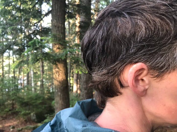
We made dinner on the log next to our tent while the lowering sun shone through the pine trunks. Somewhere in the last couple of days, my garmin had disconnected from my phone app. I tried to fix it while we waited for our food to heat, but I couldn’t get it to work. It was cheesy noodle night, which is another crowd pleaser. We ate that and a hunk of sausage for protein. Then we did our dishes and went through our frito course, which was followed by snickers and a few m&ms to finish off the evening. Oakland took a few pictures of my moppy trail hair (relative to my usual cut), which I found amusing and horrifying.

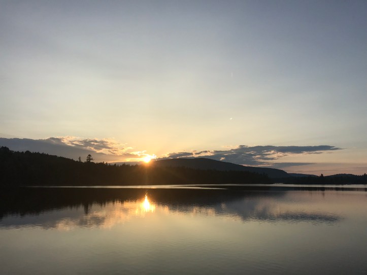
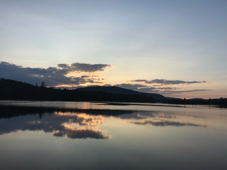
Then she kindly offered to hang our food while I went down to the water to take pictures of sunset. I think she wanted to keep our progress towards bed moving, and she had no desire to be around the SOBOs. Sadly, the sunset colors didn’t develop much, but the light was beautiful and there were a couple of loons, one of which dove right as I took its picture.

The hikers down at the shelter had gotten their fire restarted after the rain. The stair master couple we’d seen before the Bigelows were down there as well as a young SOBO couple from Florida who were taking their hike so slowly that they didn’t plan to be done until Christmas. No thank you. I spent a couple of minutes near the fire to avoid the bugs down by the water’s edge before taking a few more pictures.
Then I went back up to find Oakland about to throw a new bear line because our food apparently hung too closely to a broken partial limb, which made it squirrel bait. Our options were pretty limited, so we decided to throw the line over the dead limb to break it off the tree so we could keep our original hanging spot. I’m not sure if that idea really fit into the leave no trace framework, but it was a dead limb, so we reasoned that we weren’t causing any more damage than high winds. Oakland threw the rock bag over it, and I pulled on the rope with all of my body weight. Right when I was about to give up, the limb broke off with a large crack. Thankfully it didn’t hit either of us on the way down. Oakland re-threw our bear line and we hung our food for good.
We walked back over to our tent to collect our stoves and retire for the night. I of course got distracted by the light down on the water, so I lingered to investigate whether the clouds were going to turn pink. Sadly, they did not, so I fled from the mosquitoes and got inside the tent. We changed into our evening clothes, and I popped back out to pee one more time. Then came our usual map and notes routine. It has been incredibly difficult to write full sentences these last few days because Maine has been a massive energy output that has also involved later evenings than I’m used to. I can’t fathom staying awake past 10pm to write. I’m taking detailed notes throughout the day (when humanly possible), and I will have to flesh out the sentences when I’m done hiking. As I typed on my tiny screen, I heard the trill of loons from the water. I’m finishing this to the sound of wind in the pines and distant crickets.
Mile 2021.6 to mile 2036.8 (15.2) – Pierce pond lean-to
Checklist total miles: 905.4
Oakland total miles: 426.0
Creature feature: moose poop! 2 loons, unidentified ducks with crazy wind swept caps, tiny frogs, and at least 5 snakes
