It was so hard to get out of bed this morning. I slept marginally better than last night. I think part of the problem is that it’s been pretty cold at night. I tucked my head inside my sleeping bag last night, which helped. I finally unzipped my bag around 6 and switched into my hiking spandex. Then I immediately deconstructed my bed to avoid getting back into it. My goal today is a middling distance, but it could take a long time because I’m going up Mt. Killington. 4,000 feet here I come.
I emerged from my tent to find zebra at the shelters edge. She gave a wave and I returned it on my way to the privy. Then I retrieved my food bag and ate breakfast at the fire pit instead of in my tent. Nothing in the way of conversation really happened, but it felt a bit more social. A guy walked past me on his way to the privy and zebra exclaimed “pop tart! Is that you pop tart??” The guy in question was indeed pop tart, whom zebra hadn’t seen since VA. They went through a list of common names and statuses of said people. The majority of NOBOs I see are traveling alone at this point. I know I whined about that large group the other day, but I think that might be an exception. I think my romantic ideas about them buddying up for the long haul aren’t the reality, which is that people speed up and slow down for different reasons thus always throwing off the balance of people who didn’t intend to hike the whole way together.
I packed up my tent and was ready to go a little after 7. The climb out of Clarendon shelter was short, but brutal. Over my loud breathing, I could hear the call of a bird that sounded like a swing squeaking to and fro. The hill ended with the sun in my face and was followed by a small drop into a fern covered forest floor. I could hear the occasional drip of water leftover from last night’s rainstorm.
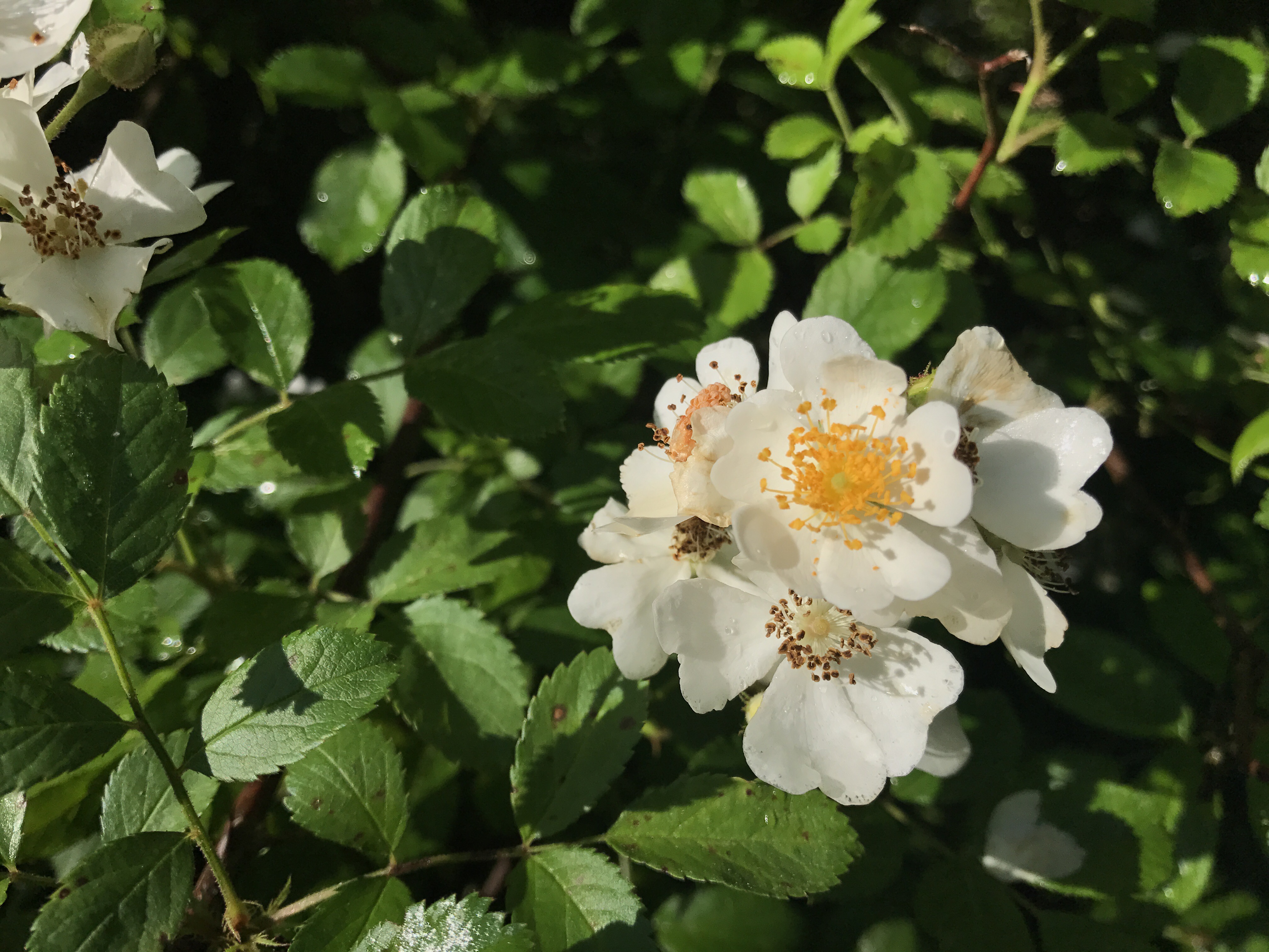
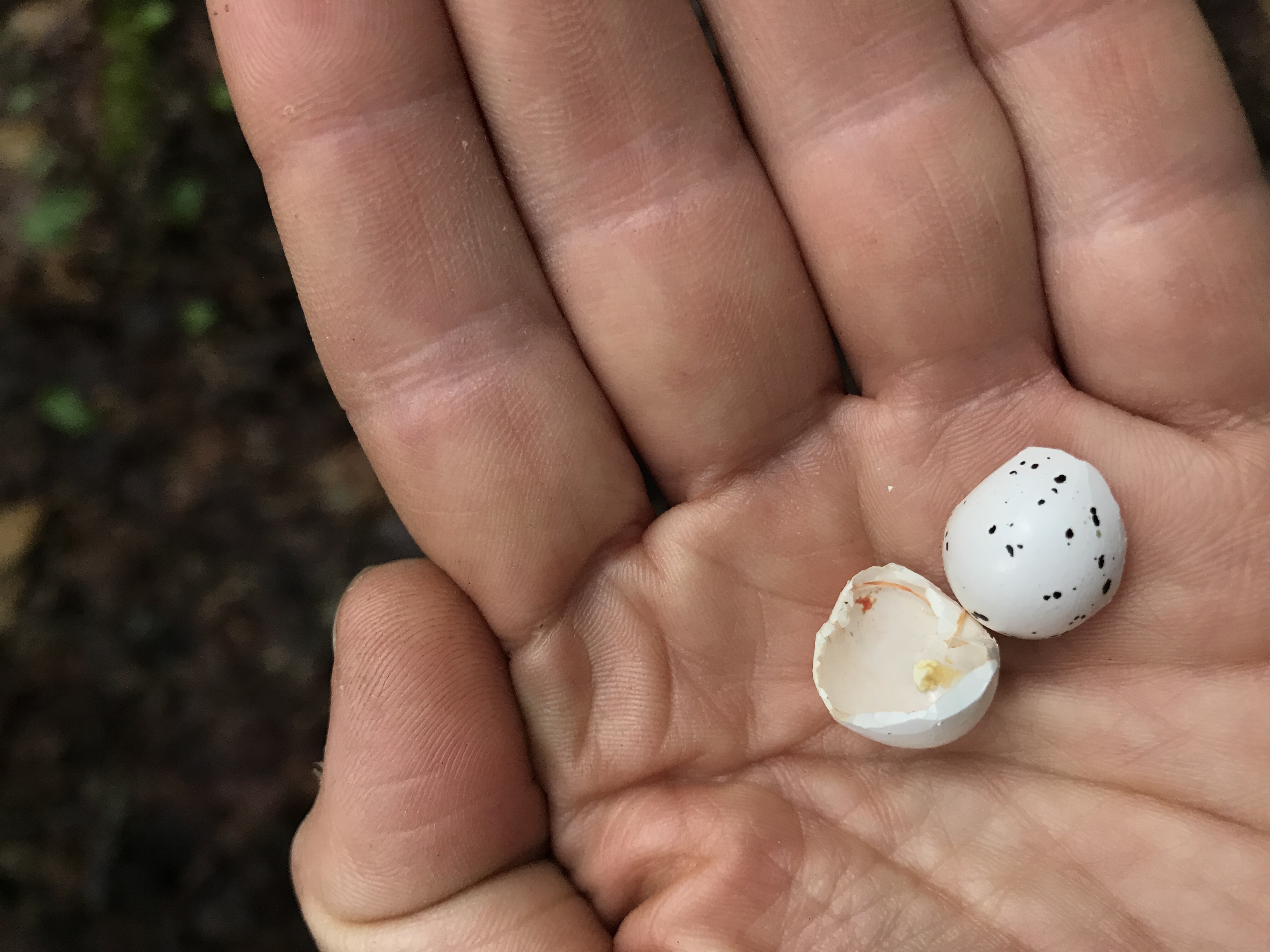
The trail eventually ran alongside an overgrown pasture with the mingling smells of blackberry blossoms and manure. I crossed a dirt road and entered your basic forest with rolling hills where I saw this tiny egg shell in the middle of the trail.
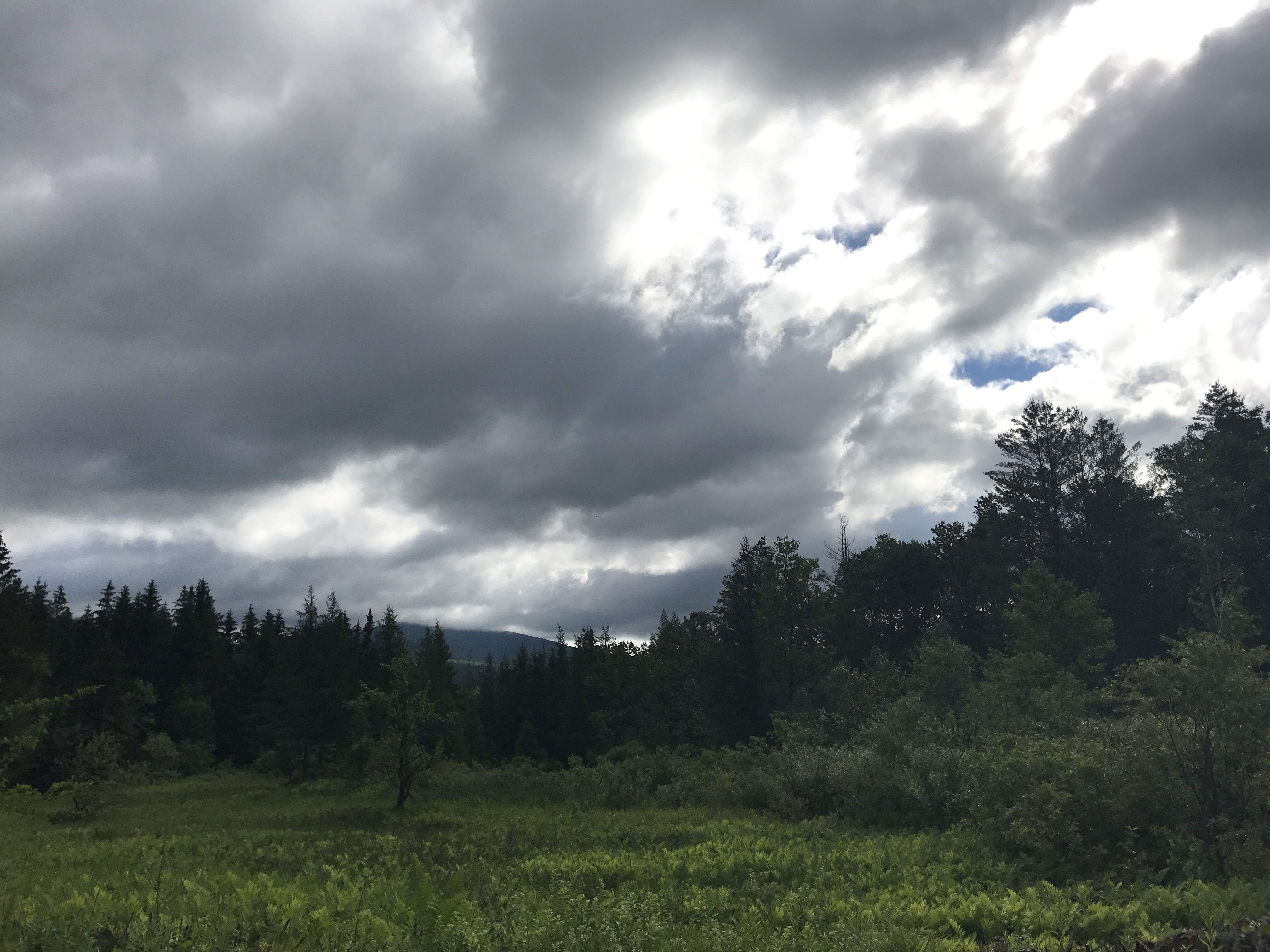
This section ended with a rocky, muddy passage to another dirt road with this view of what might be Mt Killington but I can’t be sure (without doing the research).
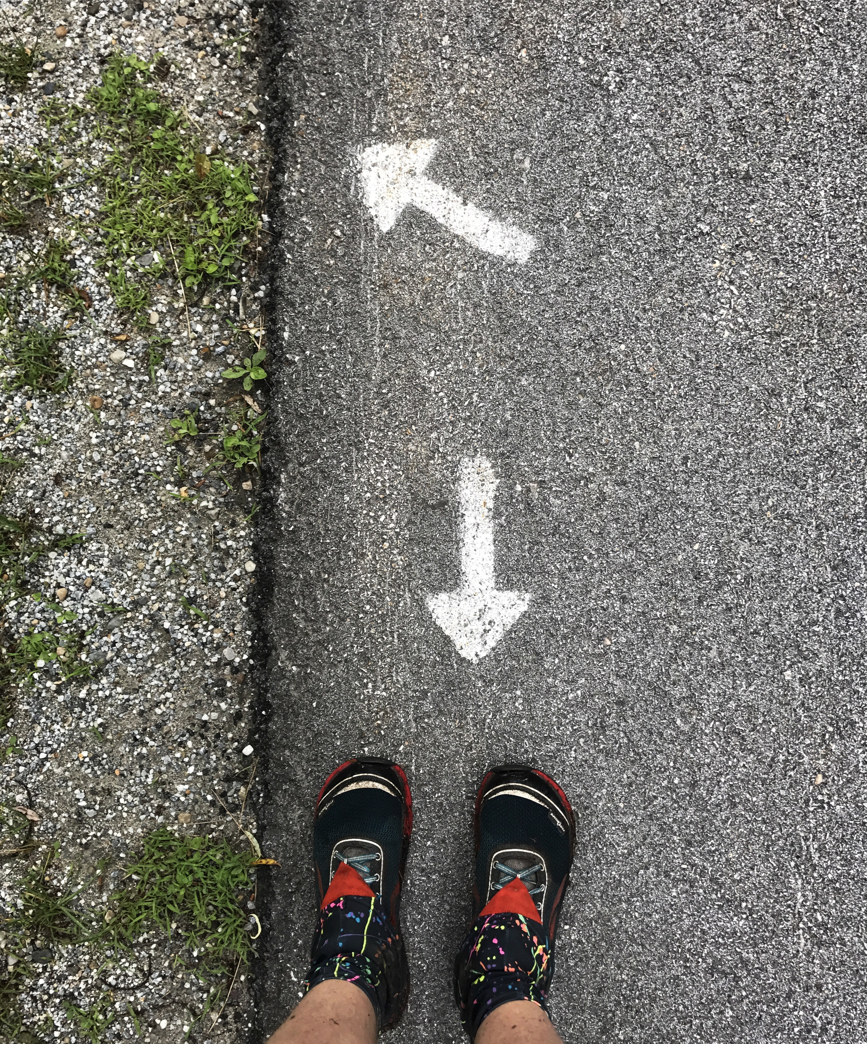
The trail took a left up the road a minute or two and then a right into an overgrown field with weeds closing in on the path. I entered a dense pine forest with very little undergrowth and roots galore. The weather was surprisingly nice considering I had been told it would rain by the long trail section hiker. For most of the day I had sunlight and a strong breeze. I came to yet another road crossing. Sometimes the path is really obvious and other times it takes a minute to get my bearings. This one came complete with arrows on the road. I love following little signs that most people never notice because they’re speeding by in a car.
I eventually came to a wide stream crossing with less than ideal options for stepping stones. As I neared the opposite bank, a NOBO arrived. He jumped over a section that had given me long pause and disappeared off into the woods a minute after I let him pass me.
The usual wave of frustration went through me. I get so caught up in how fast most people move and wonder what’s wrong with my body that I can’t seem to do it.
The trail climbed parallel to a brook through soft pine needles that transitioned to a rocky, wet area. I could hear the water in the distance for quite a ways. Then the trail turned back towards the stream, which I mistakenly thought was an incoming rain shower because it was so loud. I wound through dark forest until I hit another road crossing that thrust me back into sunlight for thirty seconds and then back into the woods with heavy canopy that blocked most of the light.
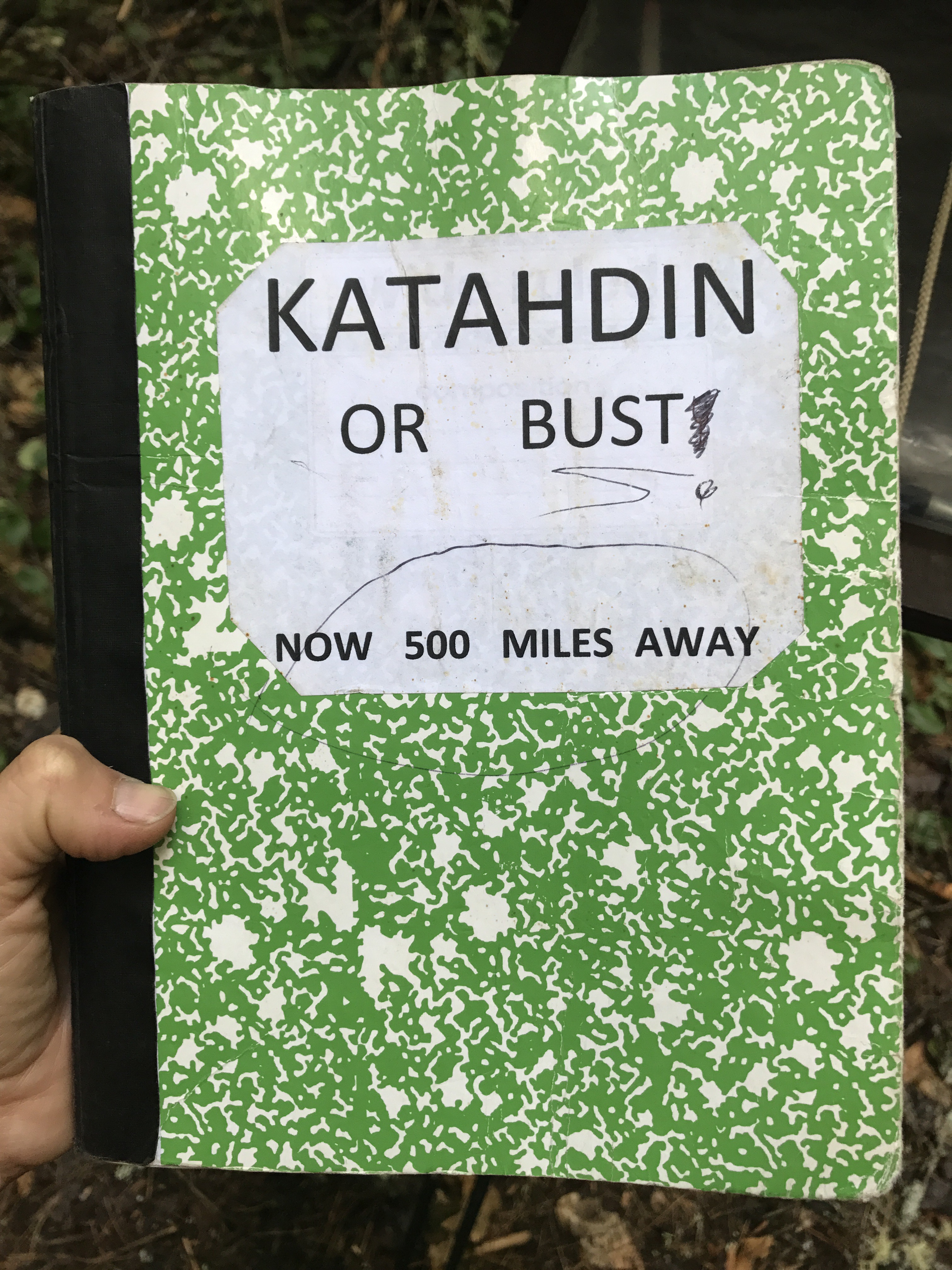
I came upon the 500 mile marker for NOBOs heading to katahdin. This must be a really exciting point for those guys. I felt worked up about it and I still have over a thousand miles to go after I get to katahdin. I signed the register and checked out the entries from people I know or people I feel like I know because I keep seeing their names in the books. That second feeling is part of why I keep writing entries. There’s something comforting about seeing the same names.
About twenty minutes later, I took a break on a log to eat a snack and rest my feet. First, I stepped behind a tree not even remotely big enough to block me and stooped down to pee. I heard a noise off to my left. I hoped it was just a chipmunk, but sure enough, a hiker approached. I thought he might miss me, but my bag was resting against the log by the trail. He looked up and spotted me. I said “hey” because what else do you do in that moment? He nodded and kept on walking. Nothing to do but laugh.
The next hour or so was a combination of short climbs and falls through pine forest. I came to yet another road crossing where the trail took a left over the same stream I’d seen earlier. Then I took a right into the woods, now with the stream running parallel to my right. I’m trying to get better at noticing where the trail is in relation to the land features instead of blindly following it. I found my mind wandering to banjo camp and the friends I will get to see in a few weeks. I’m nervous about what a long break will do to my conditioning (sometimes I wonder if I have any, but I must), but I’m willing to see what happens because it’s one of my favorites times of the year. I was also imagining making coffee and eating yogurt and being taunted for my snobby coffee gear.
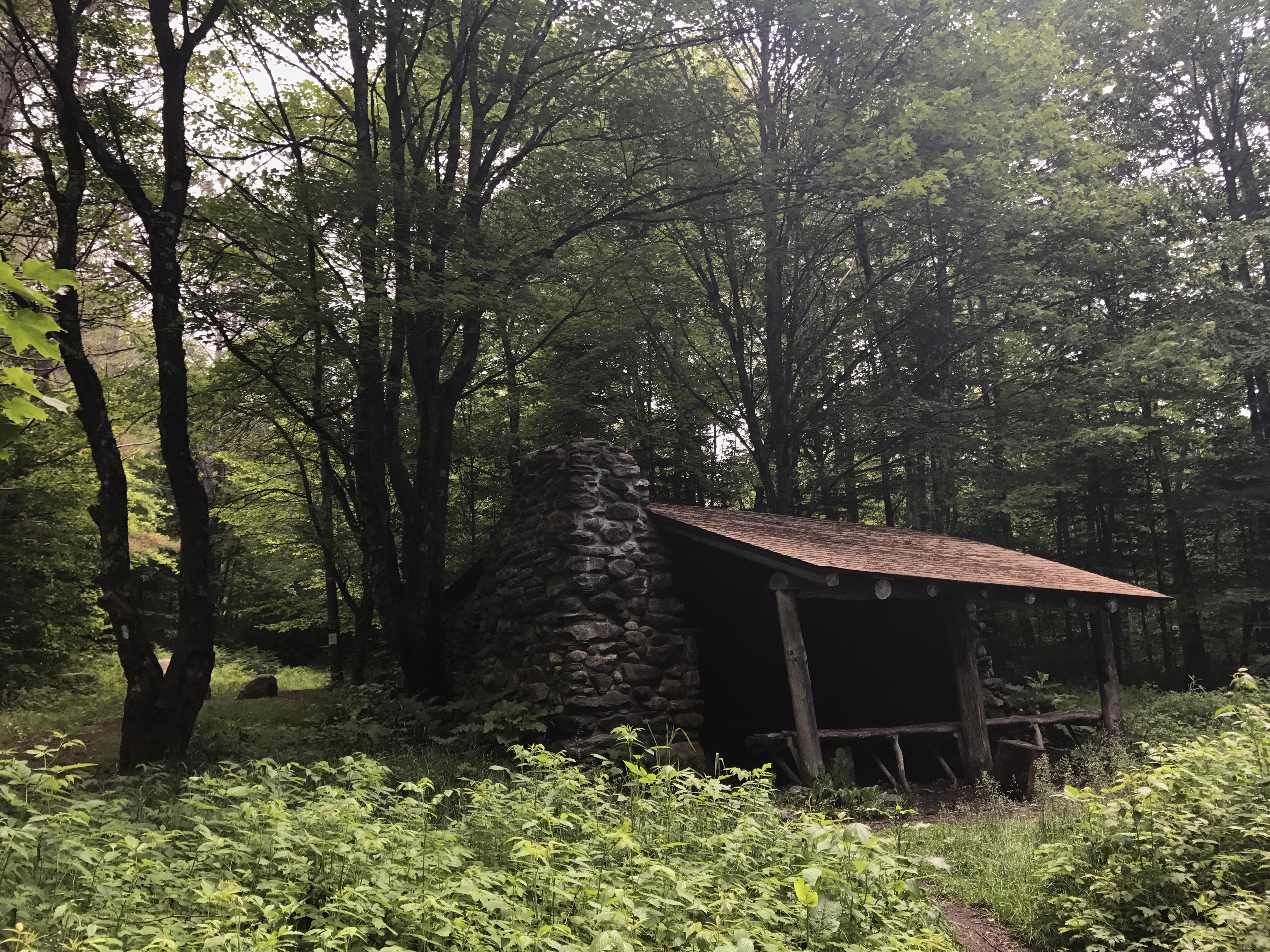
I crossed yet another stream and came to governor clement shelter, which is an old stone structure with a fire place built into the shelter. The trail then followed a woods road for awhile and eventually turned left for the roughly four mile approach to Mt. Killington. The trail consisted of steep hillside climbs that strained my Achilles’ tendons interspersed with flat sections that didn’t provide much relief because they were full of rock hopping muddy patches. I gave in to the urge to stop around 1130 and ate an early lunch on a lovely rock by a trickle of water that probably only existed because of rainfall. I remembered my error from yesterday and put on my wool base layer immediately. I was still cold by the time I got up to leave because there was a strong breeze with only intermittent sunlight. I sat in silence while I ate and imagined what I would do if a bear came around the bend.
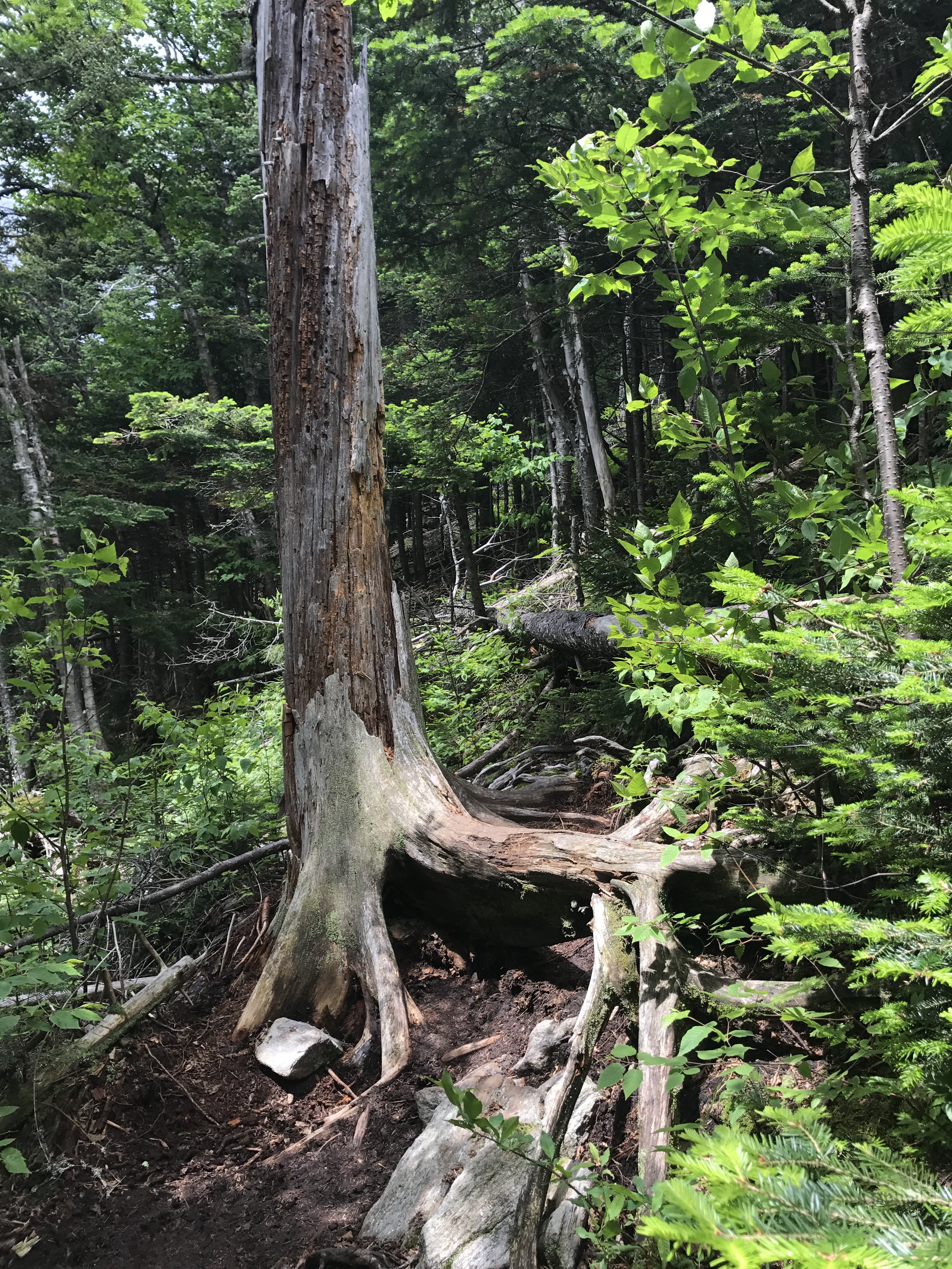
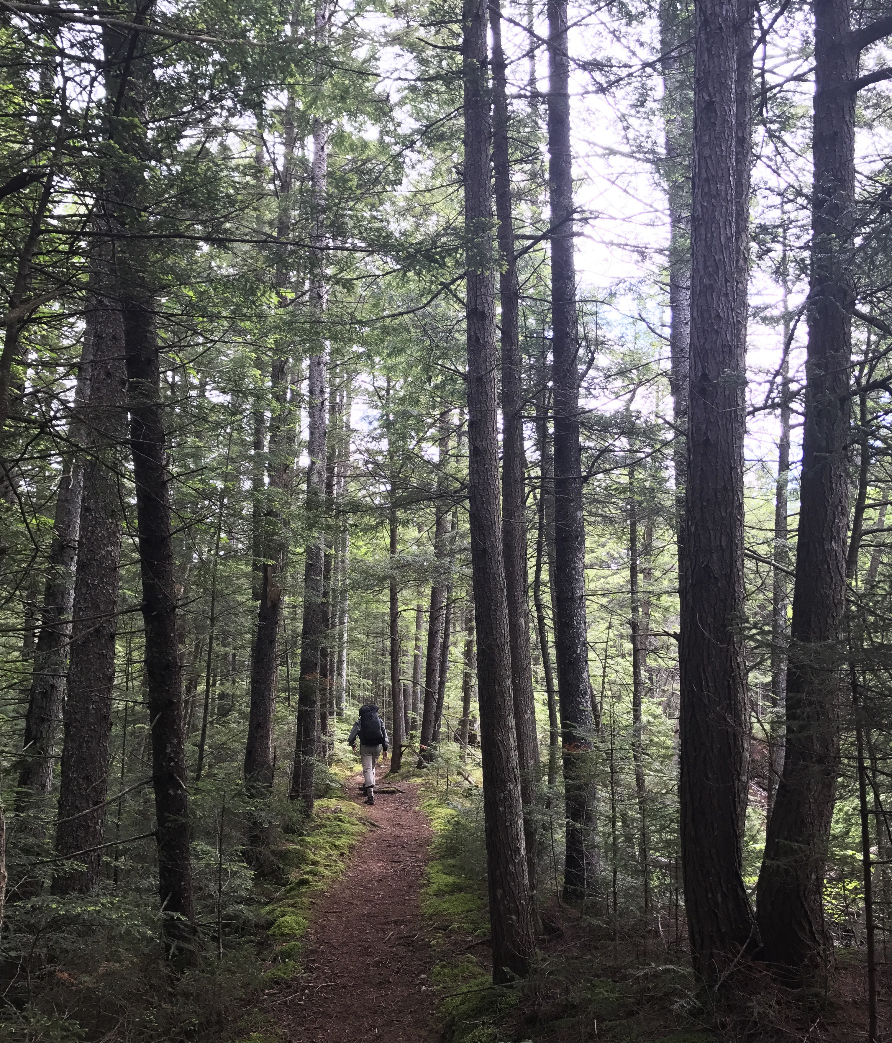
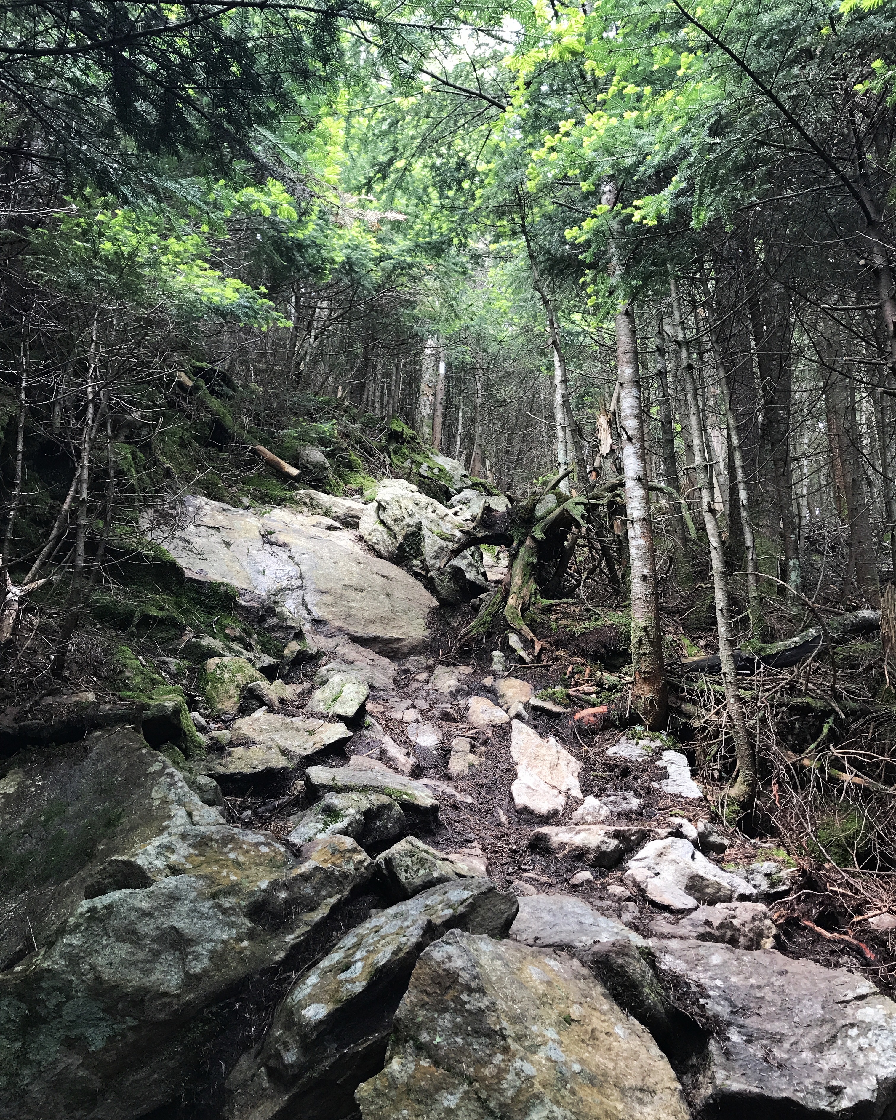
The climb continued to steepen and went through a section where many trees seemed to be hanging onto the hillside by their roots (southbound view in that pic). I came to this spot in the trail and cursed the guy from VT who told me it wouldn’t be steep. Note to self: don’t ask people from VT if something in VT is steep.
Then the path flattened out to a wide ridge line of boardwalks, muddy sections and pine roots. I started to feel a knife-like sensation in my right Achilles’ tendon, which was a new way for it to hurt. Usually it’s a burning sensation that goes away after a few seconds. The new pain worried me, so I slowed down and then decided to stop altogether to massage my tendon. That seemed to help, as the needling pain didn’t come back. Definitely need to ice that as soon as I can.
The trail was flat for longer than I expected, but it eventually resumed climbing. I reached Cooper lodge shelter and ran into zebra coming down from the blue blaze trail from the summit. The AT doesn’t actually go to the summit, but a steep side trail does. I asked her if she could see anything, and she said yes, but there was also rain. I took a break on the wooden tent pad and ate a snack while considering my options. I didn’t want to stop short of the summit because when will I be back here? but I also wanted to be able to finish my day and not wreck myself. In the end, I couldn’t pass it up.
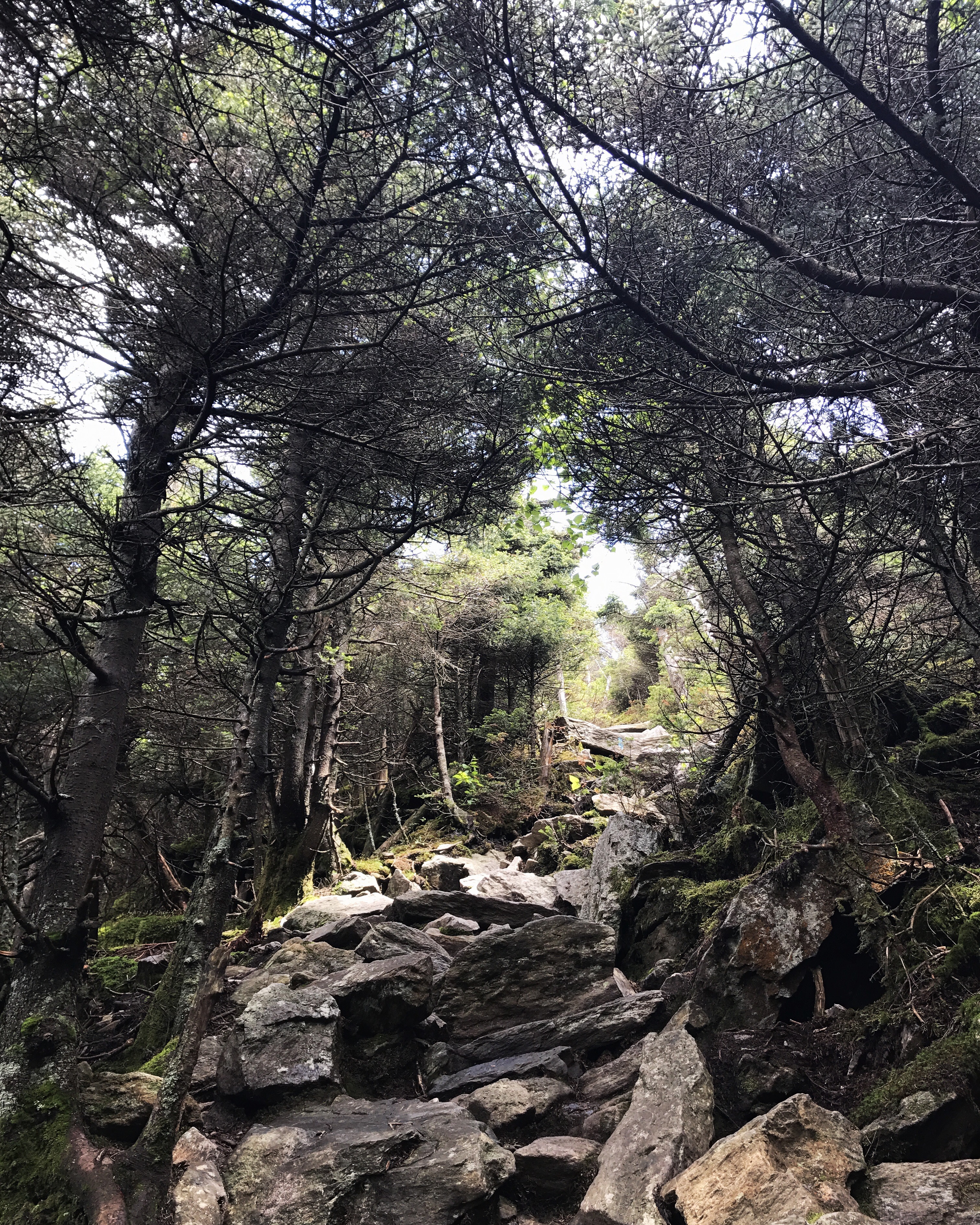
The trail to the summit was one of the steeper sections I’ve done on this trip. Maybe it felt more treacherous because of the wind and the view behind me, which let me know just how high I was.
About halfway up, it seemed to get even steeper, and I considered turning around because I wasn’t sure how I would get down. But I’m not very good at turning around. Up I went, dumping my poles ahead of me every so often to pull myself up over the rocks.
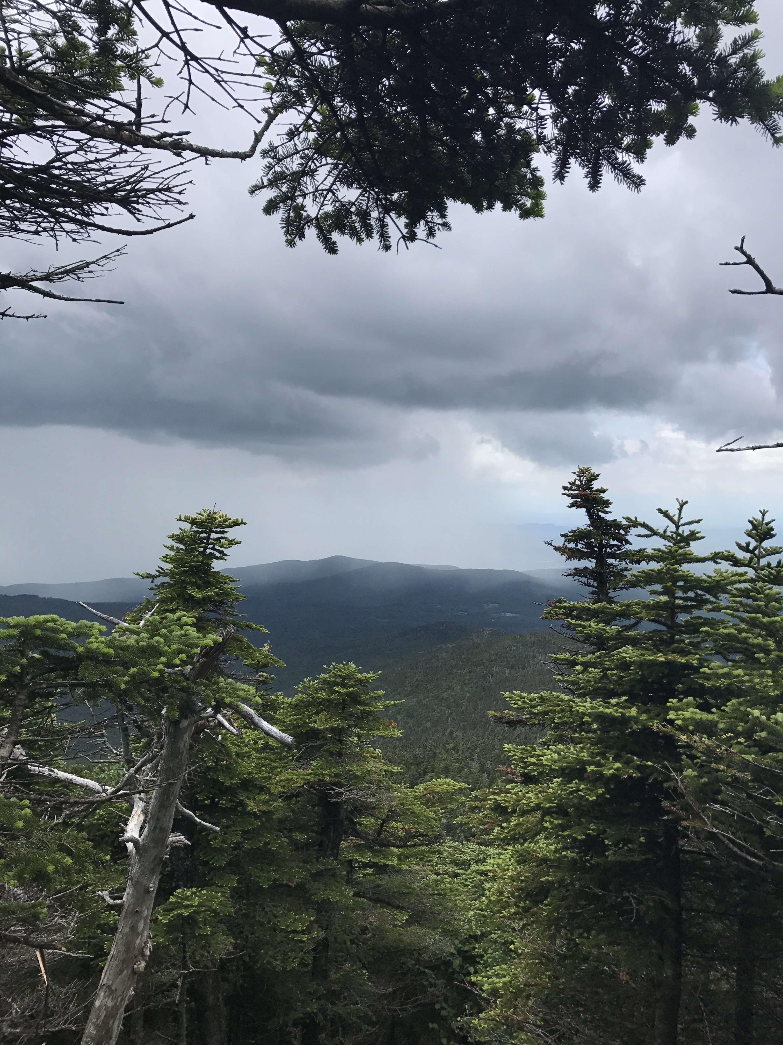
The wind howled as I neared the top. I followed the exposed rock up to the satellite area because that’s where I thought I was supposed to go. I did not see anything resembling a cafe, but I did see an incoming rain shower:
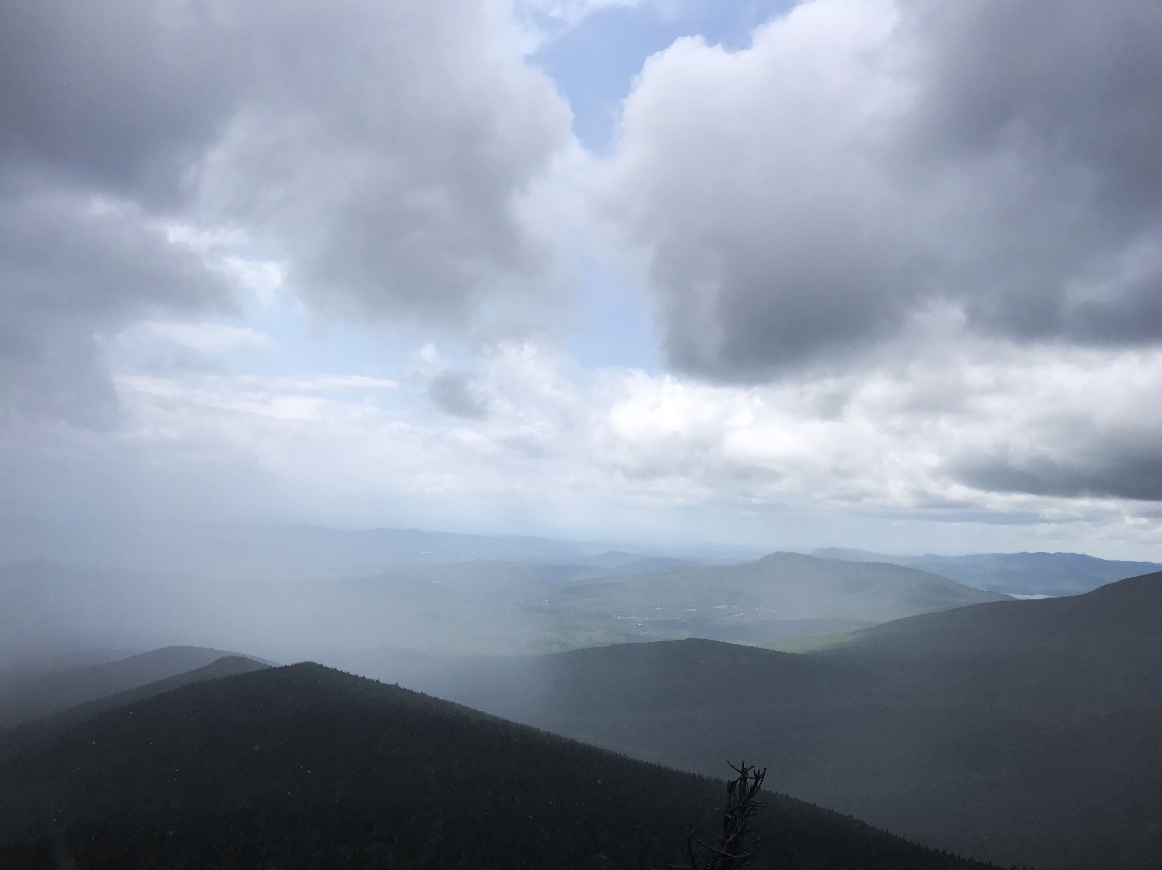
And the incredible view that’s in today’s top picture. As the rain pelted my face, I couldn’t figure out whether to haul ass back down or wait it out. I put on my raincoat and hunkered behind some shrubs that blocked most of the wind. The sky off to the left looked like a wall of grey, and I couldn’t tell which way the shower was going. Would it blow over and be nice in a manner of minutes or just get worse? I decided that waiting would be a bad idea, because the longer I stayed, the colder I would get.
On my way down to the return trail, I saw a little hiker sign pointing in a direction I had not gone. Because of taking the left in a split at the top of the rocks, I’d missed the sign that pointed me toward the cafe. At that point, I didn’t have the energy to check it out nor did I really need to spend money on food. Back down I went, at a snail’s pace, talking myself through which steps to choose and doing a fair amount of butt scooching.
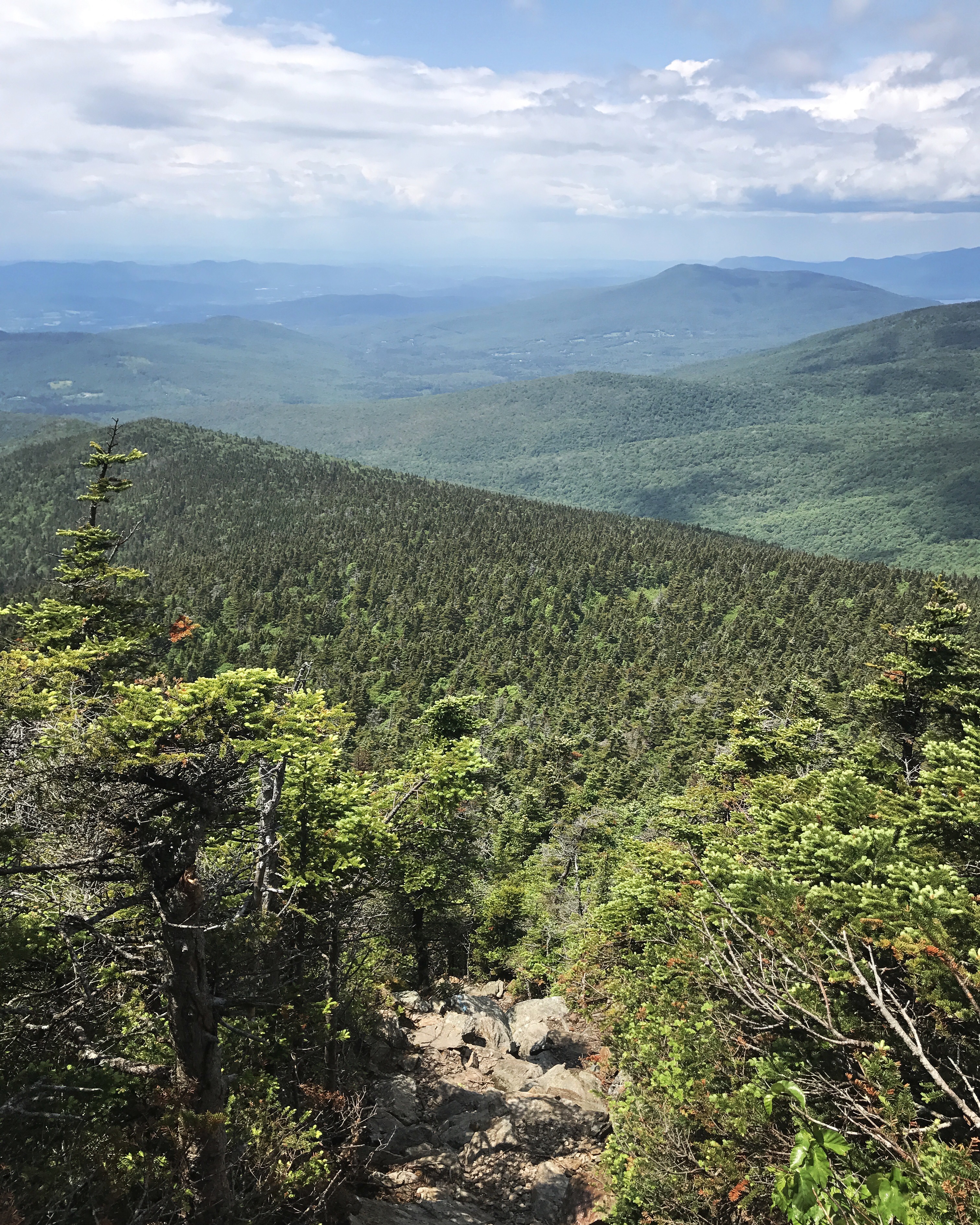
The trip down was not as bad as I expected, but I can’t say it was easy (those rocks disappearing over the edge are the top end of the trail). I dropped my pack on the tent pad at the bottom and laid with my feet up in the sun to recover from the insanity. An older thru hiker with an inordinate amount of energy came up and started jabbering about the cafe. I could not muster anything for this guy and just kind of grunted back at him until he wandered up the summit trail. I heard some other people come down the summit trail talking about more rain, so I decided to make my way down the mountain even though I just wanted to sleep in the sun. I left my raincoat on for quite awhile because the summit had chilled me. I skipped getting water at the shelter because I didn’t want to get my hands wet or carry the weight, but I knew I wasn’t drinking enough. After the third little stream I passed, I finally said out loud “okay I’ll stop” because it felt like the trail was saying hey, dummy drink water, it’s right here.
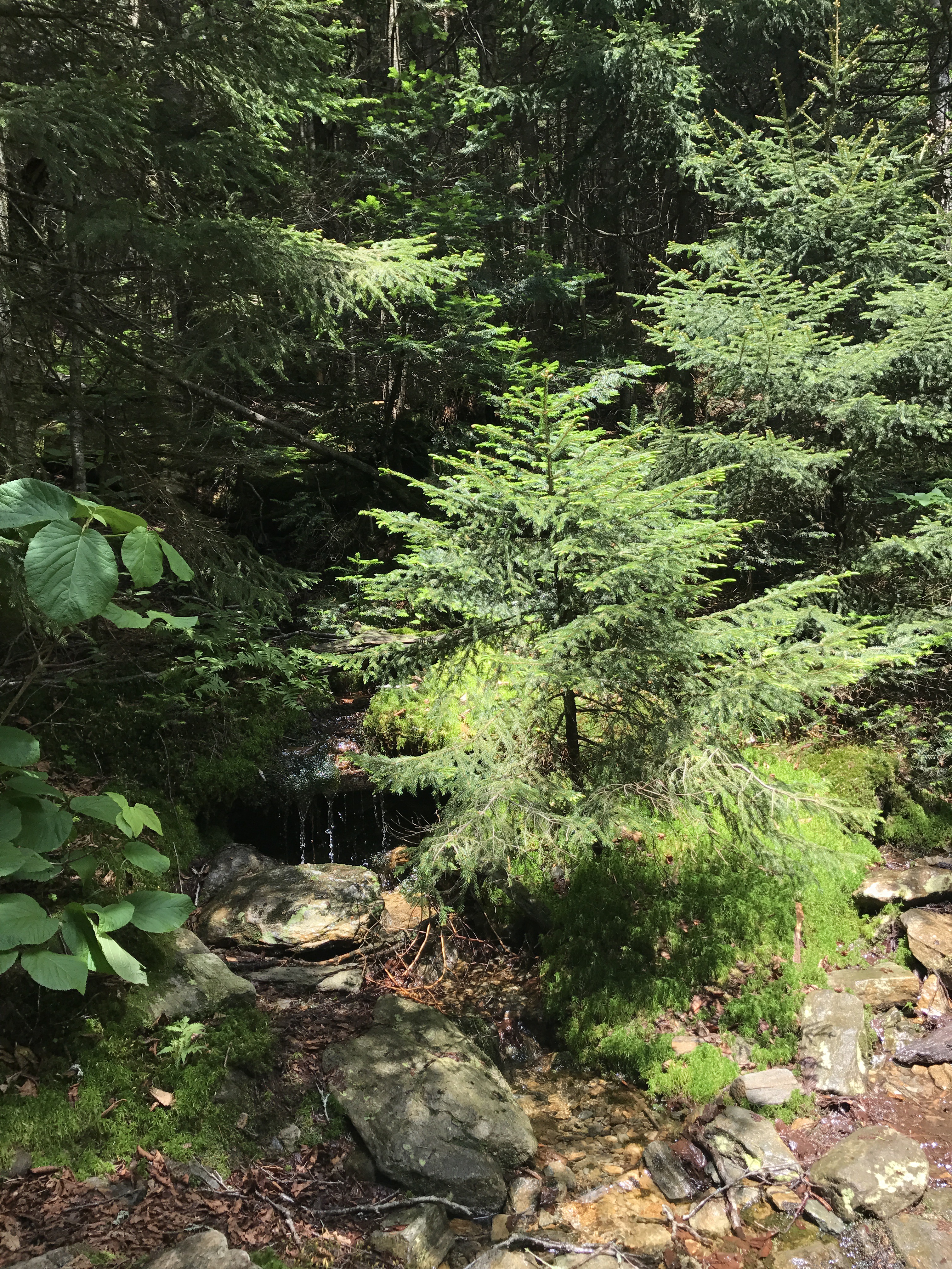
I felt a sense of urgency for awhile because the sky had darkened and the wind picked up, but no rain ever came. As the sun re-emerged, I finally slowed down to pay more attention to my foot placement. My feet were starting to get sore and there were a lot of things to navigate on the path. The woods were incredibly green, full of ferns, lilies, moss covering much of the flat surfaces. Eventually a type of grass also entered the scene, which I wasn’t expecting.
The trail descended for awhile and flattened out again much like it had on the climb up. Eventually it started heading down at an uncomfortable angle that made my knees protest after the steep summit trail (and 8 days straight of hiking). The energetic guy from the summit passed me while asking me about the bar. I had no idea what he was talking about, but assumed it was something in the town of Killington. I told him I only intended to go as far as the shelter and he asked me how far the bar was past that. Then he said he walks until 730 most of the time and one could even go until 9 if you didn’t need any light to eat dinner! I wanted to whack him with one of my hiking poles because he was yet another person talking about extremes. Thankfully he was much faster and wandered off to whatever bar he wanted to find leaving me in silence.
The turn for the shelter felt like it would never come. I arrived to an empty campsite. My least favorite. I wandered around looking for a decent tent site because there were too many bugs to sleep outside. I also wasn’t keen on sleeping in a shelter alone. I had to settle for a knobby, sloped site near the privy because I didn’t have the energy to try to set up on a wooden platform. I put my tent up and hung my food in the shelter temporarily while I went down to get water. The water source was a trickle, but it worked out well enough. Just took some patience.
Then I boiled water and checked my idiot box while my dinner cooked. It’s the first time I’ve had service at night in several days. It’s no mystery that my phone and writing this blog are why I can’t get to sleep on time. Exhibit a: not setting up my bed while my food cooked in favor of checking social media. I put my phone down while I ate and thumbed through the trail register. Apparently there’s a much easier trail to the summit of killington that starts at the Cooper lodge privy. Someone in the logbook even drew a little map for it. Why aren’t there signs letting people know about it on top of the damn mountain?? I texted JD and fearless to let them know about the easier option because I worried about them taking the steep route in possibly wet conditions. A brazen squirrel came to the edge of the shelter and repeatedly tried to sneak up to my food bag (hopefully the video works).
I finally had to get up because he kept coming back within seconds of being scared off. I brushed my teeth by my tent and went through the tedious task of finding a good tree to hang my food. Several misses and some cursing finally gave way to a pretty decent hang. Knock on wood. I hope that squirrel doesn’t find my food bag. I’m not sure cuben fiber can withstand the likes of squirrel teeth. Then I set up my bed, changed clothes, and began to write.
Around 8, a NOBO ran past me and nearly ran to the privy when he realized he’d turned too early. I had hoped for company, but about 10 minutes later, the crazy bastard ran back the way he came. I guess he just needed water. Now I’m finishing this to the sound of too many things in the woods freaking me out and bugs dive bombing my tent. My first night alone, and the answer is I do not like it. I worry that this will be the norm once I turn south in VA.
Mile 1684.1 to mile 1698.9 (14.8, not counting the .4 “bonus miles” up and down the summit trail)
Total miles: 695.7
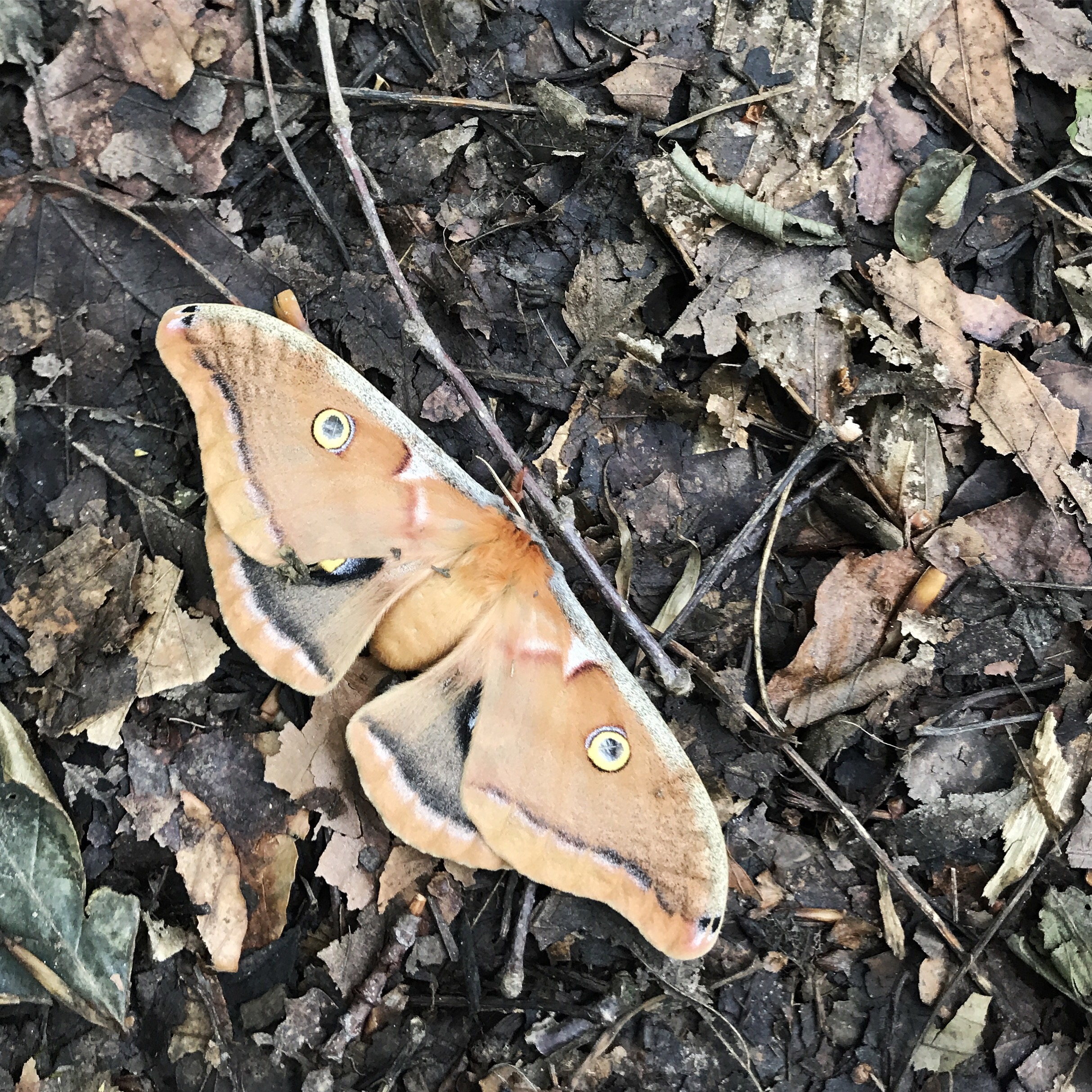
Creature feature: a garter-like snake that seemed too fat and had slightly different coloring, several cute dogs, that pesky red squirrel, and a very sluggish but beautiful moth