
I tossed and turned all night and woke up around 545 feeling groggy. The temperatures were perfect for sleeping, and I hiked a good distance, so I’m not sure why I felt so restless. I left my sleeping bag as quietly as I could while everyone slept. I peered inside each of my shoes to check for spiders because I had left them in the dark gap between the lip of the shelter and the actual floor of the shelter. It’s a design that seems specific to the older structures on the trail to prevent porcupines from getting into the shelter. The end result looks like a snake pit if you ask me. I made the annoyingly long trek to the privy that was oddly off the trail rather than behind or adjacent to the shelter where they usually are. I took my shorts with me so I wouldn’t have to do a super man sleeping bag change in a shelter full of dude bros.
Everyone still slept soundly when I returned. I wasn’t about to wait for them to eat breakfast, so I pulled my food bag out of my pack hanging under the eaves of the shelter. It’s the first time I haven’t hung my food outside the shelter, and everything survived. I quietly unwrapped my probar and covered it in a conservative amount of peanut butter. I’m dangerously low considering I have to eek out lunch and breakfast servings. Action Jackson eventually sat up and began to fix his breakfast. I sat at the edge of the sleeping platform and brushed my teeth and put my contacts in without moving because everything was within arms reach. Then I packed up my sleeping gear and put bodyglide on my feet. The others had finally started to rustle around by the time I was packed and ready to go at 7am.
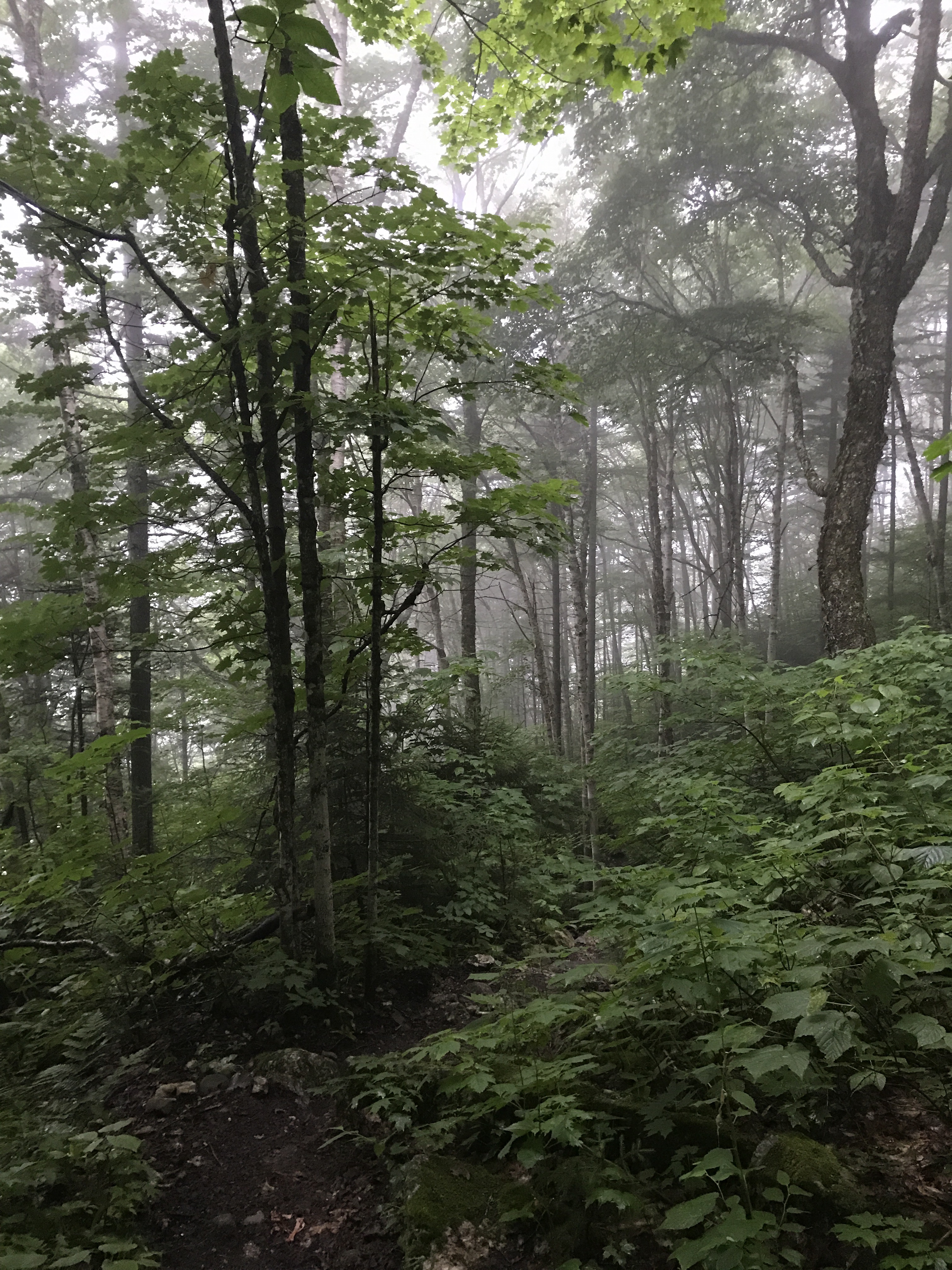
The trail started with a mile and a half descent to sawyers notch. The sky had been sunny when I woke up, but clouds hung overhead as I walked away from the shelter. The forest was bright green and saturated from last night’s storms, and a light mist hung in the air. As I descended to the forest floor, it started to drizzle. I steeled myself for another soggy morning, but the rain petered out pretty quickly and never got heavy enough to warrant a rain jacket. The extra moisture added to the feeling of walking through a rainforest, which continues to feel confusing relative to what I imagine New England climate to be.
The trail down to sawyers notch consisted of a lot of man made stone steps and the occasional jumble of roots and rocks. I made decent time down to the notch where an unofficial campsite exists. Someone had hung a line about 5 feet off the ground and what appeared to be 10 red food bags hung from the line. In keeping with what I’ve found so far, people do not seem concerned about bears or proper bear hangs in Maine. A woman tenting at the baldpate shelter had tied her food bag to a stump about 4 feet in the air. Why not just leave it in your tent at that point?
I walked past the tent site and carefully rock hopped across sawyer brook. The trail took a sharp right and immediately started up moody mountain. The climb was so steep at certain points that I could have eaten my knees for second breakfast.
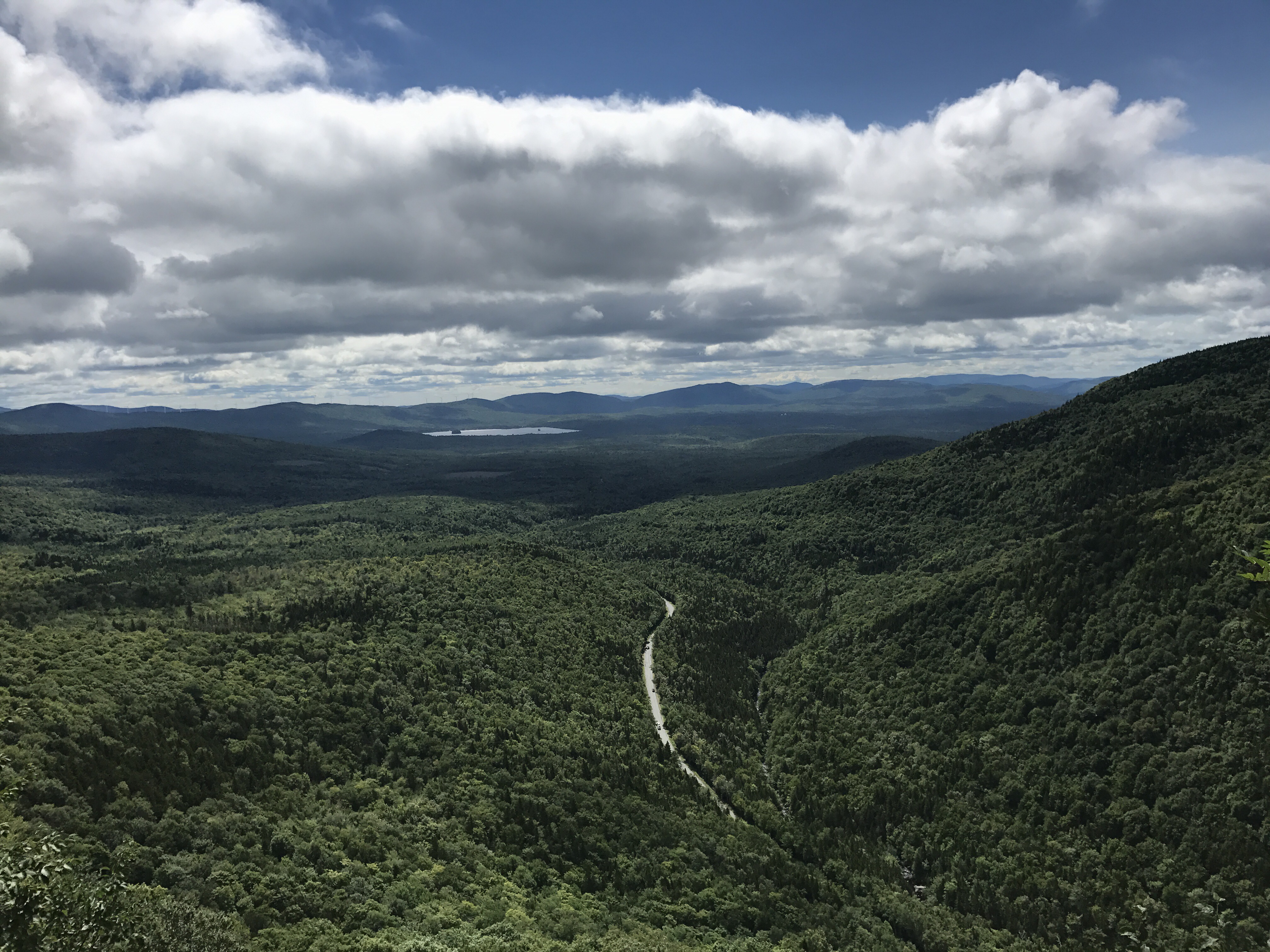
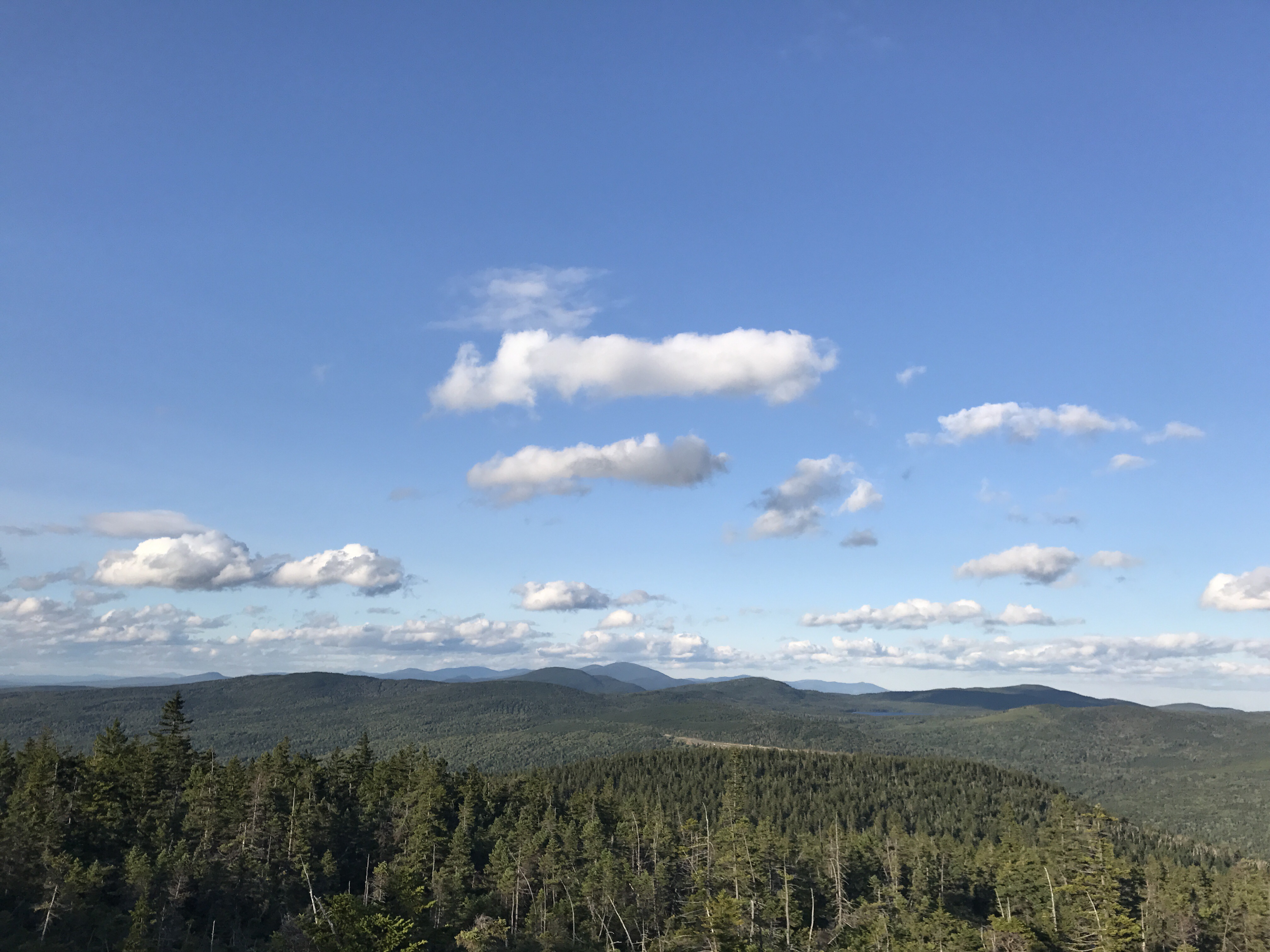
I tried to focus on using big muscles and not thrusting my head foreword while I inched my way up the mountain. There were short stretches of flat relief towards the top and then back to climbing nearly straight up. I stopped at this view to have a snack and use my phone given the higher elevation (anything below about a thousand feet is almost guaranteed to be no service zone):
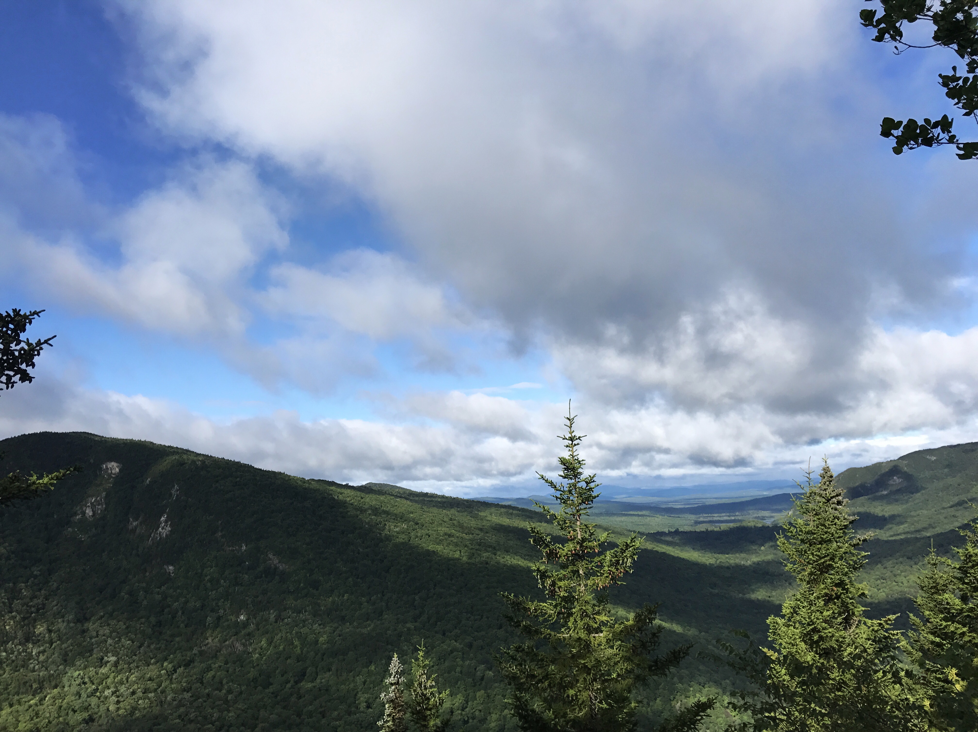
It took about 15 minutes of phone zombie time for wolfie and his friend to catch up to me at the view. Action Jackson strolled through about 3 minutes behind them. I put on my pack and left them all to gawk at the mountains we haven’t gotten to see because of the whiteout conditions. The trip down moody was milder than I expected, consisting primarily of good footing. I stopped at a stream for water and had to work hard not to eat another snack.
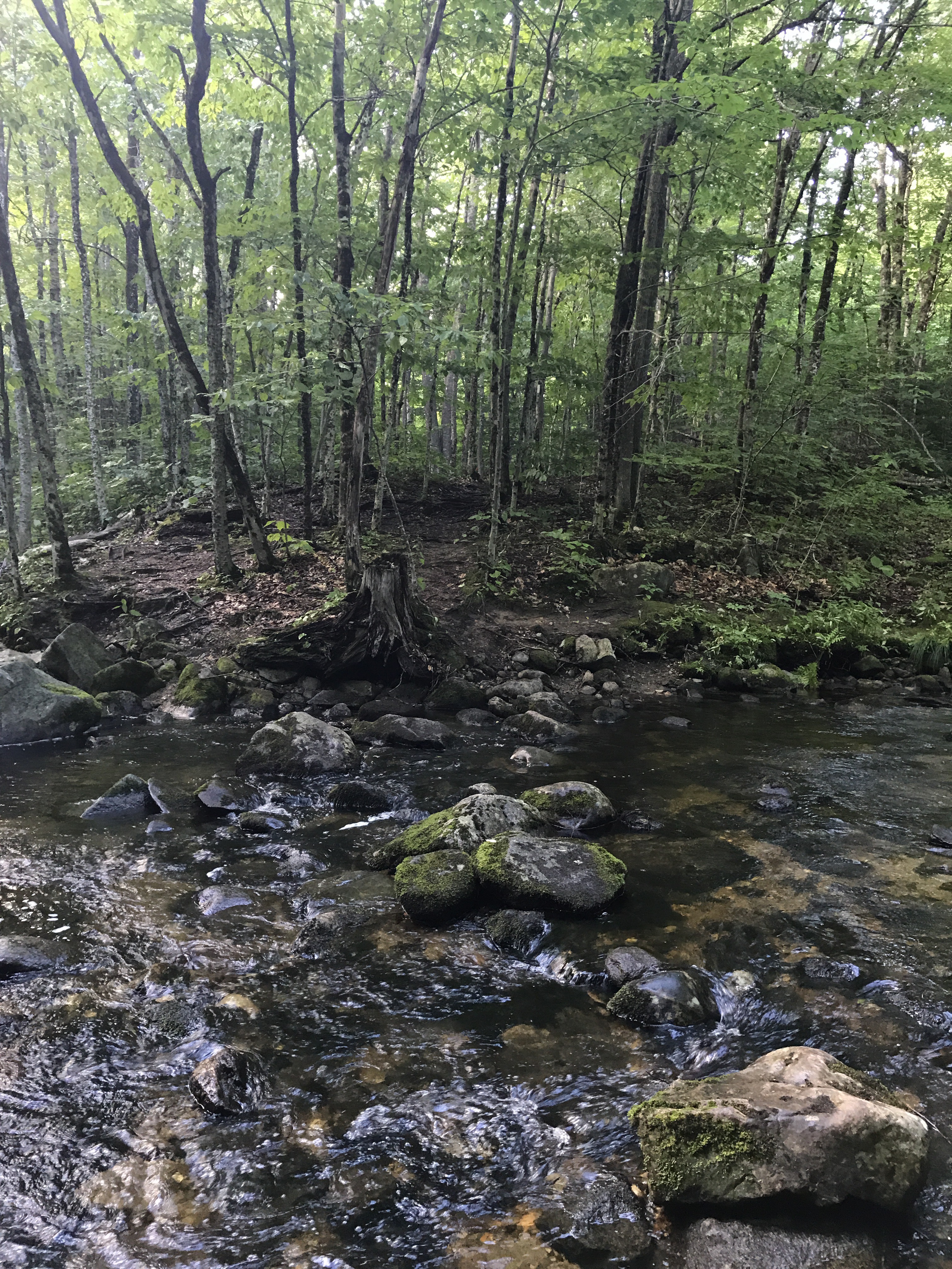
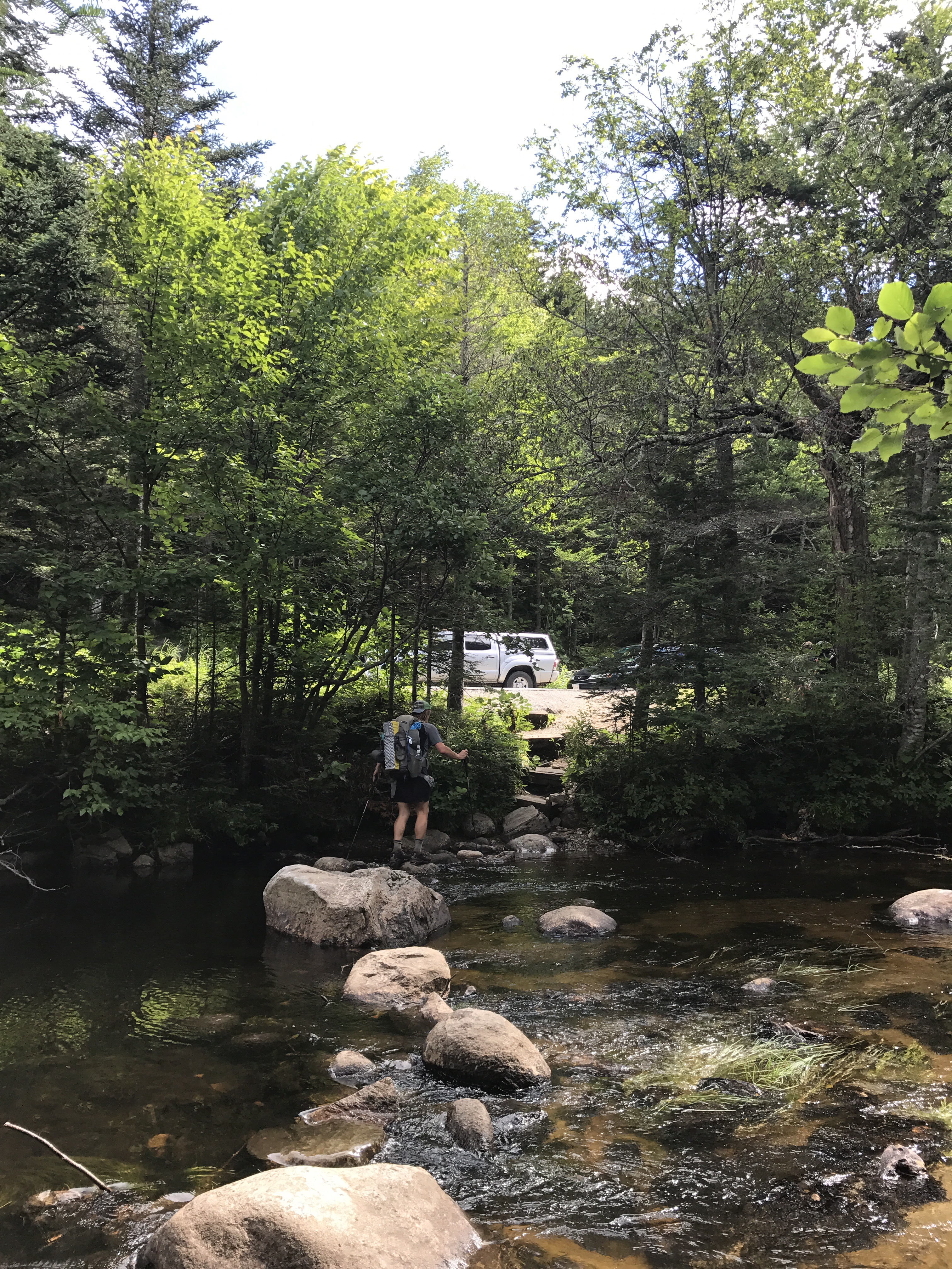
A strong breeze blew all morning, continuing to make it feel like fall with cooler than expected temperatures. I hiked in my wool shirt on and off all day. The walk between the bottom of Moody and sawyer arm road was picture perfect middle of the woods walking. I came upon a brand new privy that went with a tent site that wasn’t on my map. I decided to use it given the guys hiking behind me and the high likelihood that they would catch up with me in mid squat. Sure enough, as I came out of the privy (that had tp!), I saw Action Jackson slow down to read the sign near the privy’s side trail. We both remarked on the beautiful weather and terrain, and then he took the lead. Around the bend from the privy, I came to a steam crossing that involved a tricky long hop from a smaller rock to a large but uneven boulder. It was just far enough that I had to Hail Mary it and hope that I didn’t end up crashing into the water, which I managed to avoid.
On the other side of the stream, the trail crossed south arm road where Action Jackson had plopped down to eat a snack. I wasn’t ready to take another break, so I kept going after I dumped my trash in a bin chained to a tree. The climb up old blue mountain was just as steep as the ascent up moody. As I made my way up one particularly rocky bit, I saw a raspberry laying on a rock.

I picked it up and ate it (obviously). I looked around to find a bush dotted with petite raspberries. I picked several and ate them even though they weren’t quite ripe.
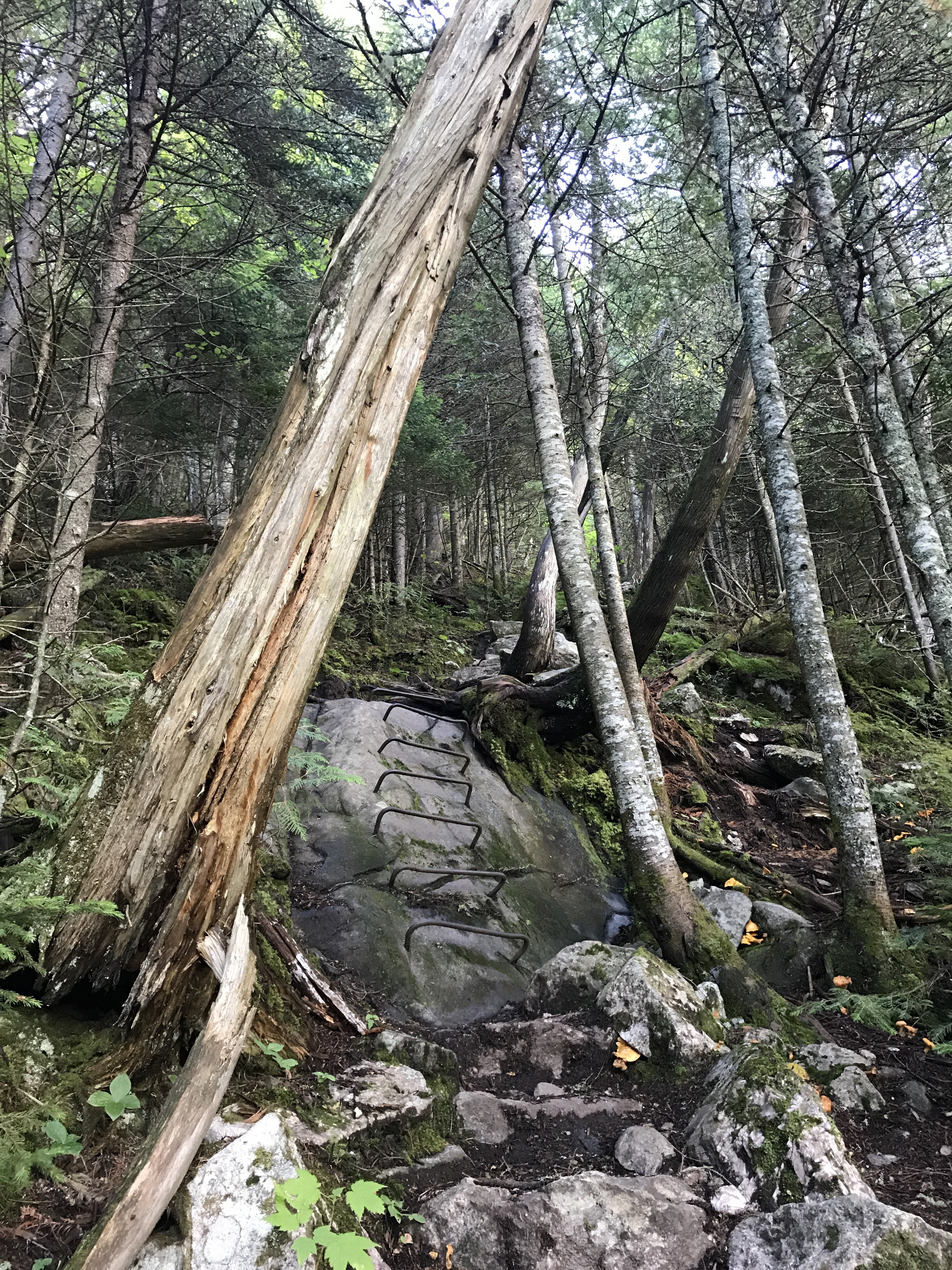
I came to this viewpoint and decided to take another break to rest my legs and take in the sunny spot. Action Jackson caught up with me and checked out the view for a minute before moving on. I lingered, feeling tired and daunted by the 2.3 miles left to the summit. Thankfully some of that came in the form of flatter sections. Around 2700 feet, the forest became mossier and the trees were shorter. For the last third of a mile, the trail transitioned to the steep rock slabs I’ve become accustomed to climbing forever and ever.
There was a bit of rebar here and there (top picture), but for the most part I just had to creep up the slabs or hug the roots along the edges. I ran into some day hikers heading south, one of whom assured me that this was the last climb for a good little stretch of the northbound AT. I kept my biting remarks about other people’s opinions to myself and pretended to be enthused by her “facts.” When she said I was near the top, I said I was also near lunch. An older gentleman in the party said I’d be better off just eating at that spot because of the wind. He turned out to be very correct. The wide open summit of old blue was a wind tunnel with shrub height trees that didn’t provide any cover.

I sat my pack down for all of 10 seconds before deciding against eating on the summit. Instead, I went about a third of a mile down the mountain and sat on a rock nearly in the middle of the trail because I was starving and couldn’t be bothered to wait for a better spot. The wind had chilled me on the summit, so I put on my raincoat for an extra layer while I wasn’t moving. As I put together my lunch my hands started to go numb from cold, so I pulled out my hat and hand warmers. I felt absurd in winter gear, but I was still barely warm enough to sit still. I left my warm layers on as I headed down the mountain. I couldn’t pick up much speed because the descent was a little steep, so it took a good forty minutes to warm up enough to remove layers. A lot of today felt more like October than August.

The descent mellowed out and then transitioned into quiet walking until I came to a section of poorly maintained bog boards. My left foot slipped on one of the boards, and I went down hard on the outer part of my left thigh. Thankfully, it wasn’t a particularly wet section, so I didn’t end up in mud as my legs slopped over the edge of the boards. I cursed to myself and whined about how the trail maintenance shouldn’t be the most dangerous part of my day. Then the trail took me through a pine section with a sparse canopy, which let in both sunlight and wind. The walking was easy minus the odd crop of boulders here and there.
I eventually came to this viewpoint where a SOBO sat on the bench. I stopped with my pack on, not intending to take a break, but the SOBO offered to make room for me, so I took advantage of his hospitality. That’s when I noticed that the pack on the ground was actually attached to an adorable dog.
I said hello to her and she proceeded to put her feet on my lap and lick my face.
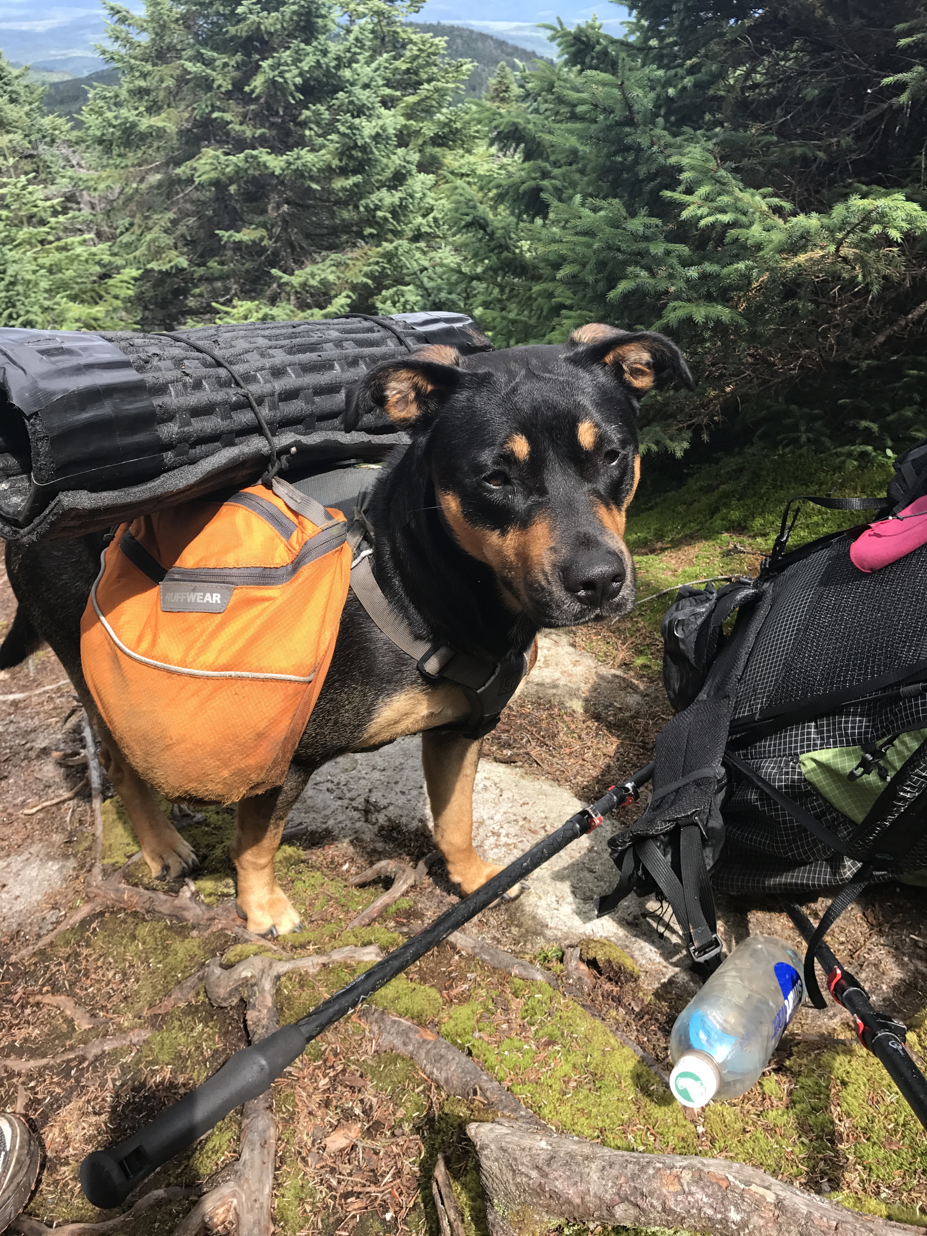
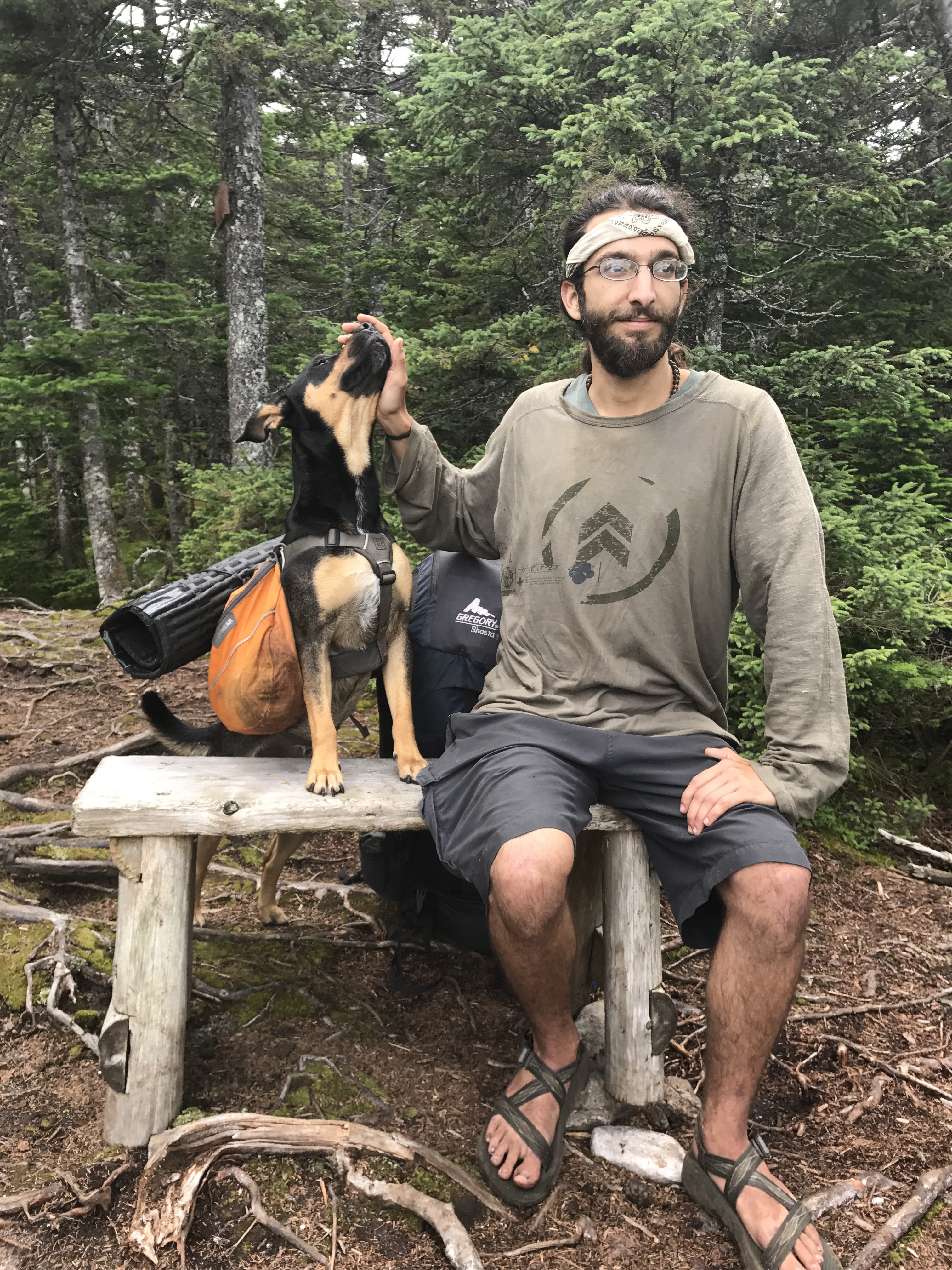
Her name is mountain goat and the SOBO is General Ben. He offered me some of his trail mix, which I happily took given my dire snack situation. I stuck around for about 10 minutes talking and ogling the cute dog until General Ben said it was time for them to move on. He knew the campsite I intended to get to tonight and made a passing remark about bemis being easy. I filed that into my “maybe true” category of information and tried not to get too attached to the idea.
The first peak of bemis was indeed easy, but the ridge between the two peaks was root filled and annoying. I still had about five miles to go at 4p, which felt too far given my energy level, but I need to make the miles, so I can get to rangeley at a decent time tomorrow. As I stood off to the side of the trail sending a text, I looked up to find Tater, who is someone I follow on Instagram (hikinghepburn). She and her hiking partner, Norsemen, have been doing non-AT 4K peaks in the area and in doing so, got behind me. I gave a hearty hello and said that I wondered if we would run into each other. I made a joke about there being a few extra mountains around for them to climb. Tater complained about her legs feeling trashed and said they were both worse for the wear at the moment. I commiserated with their soreness and let them pass so I could finish writing. They will likely stop short at the shelter instead of going all the way to the campsite where they also intended to camp tonight.
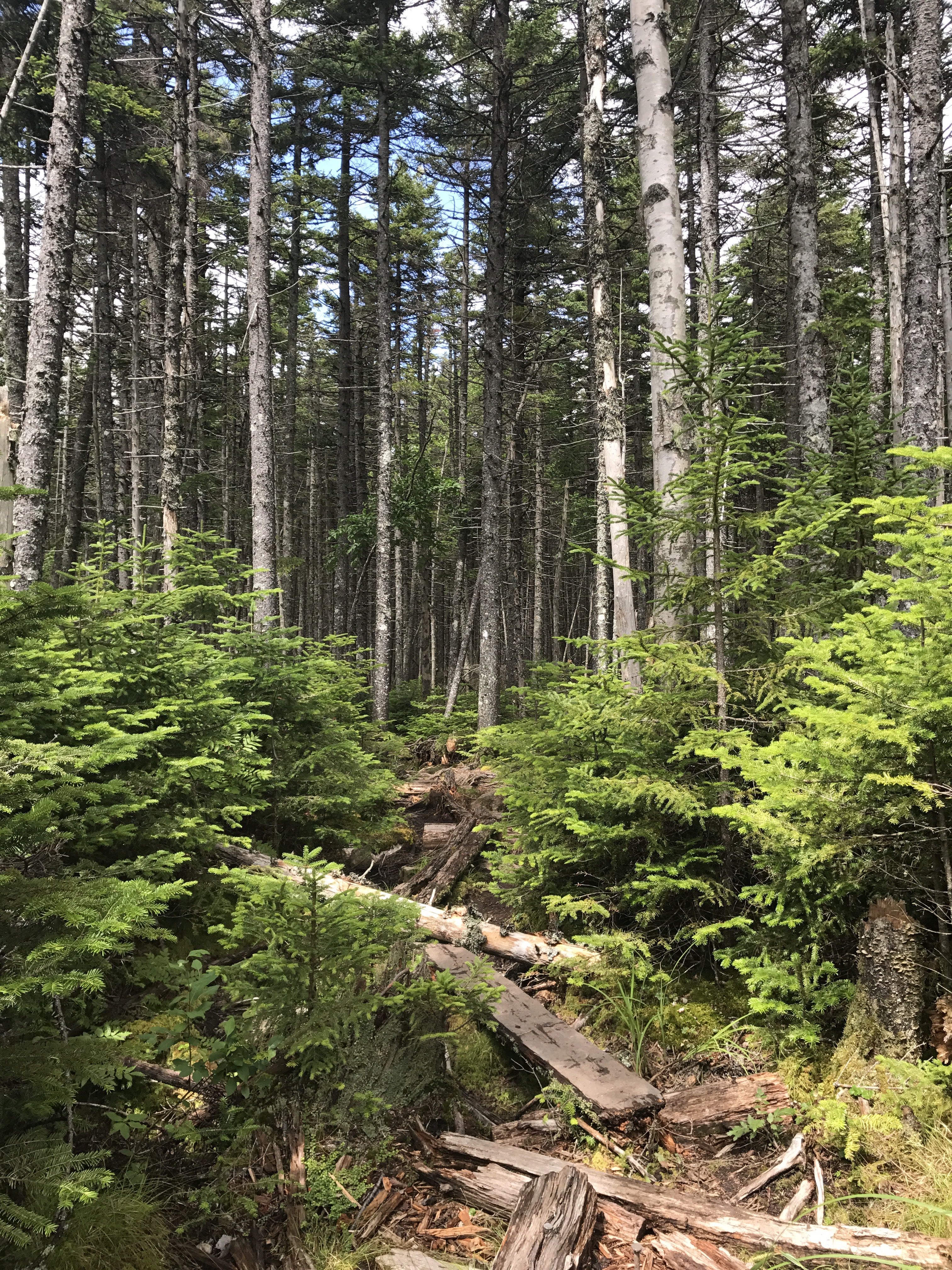
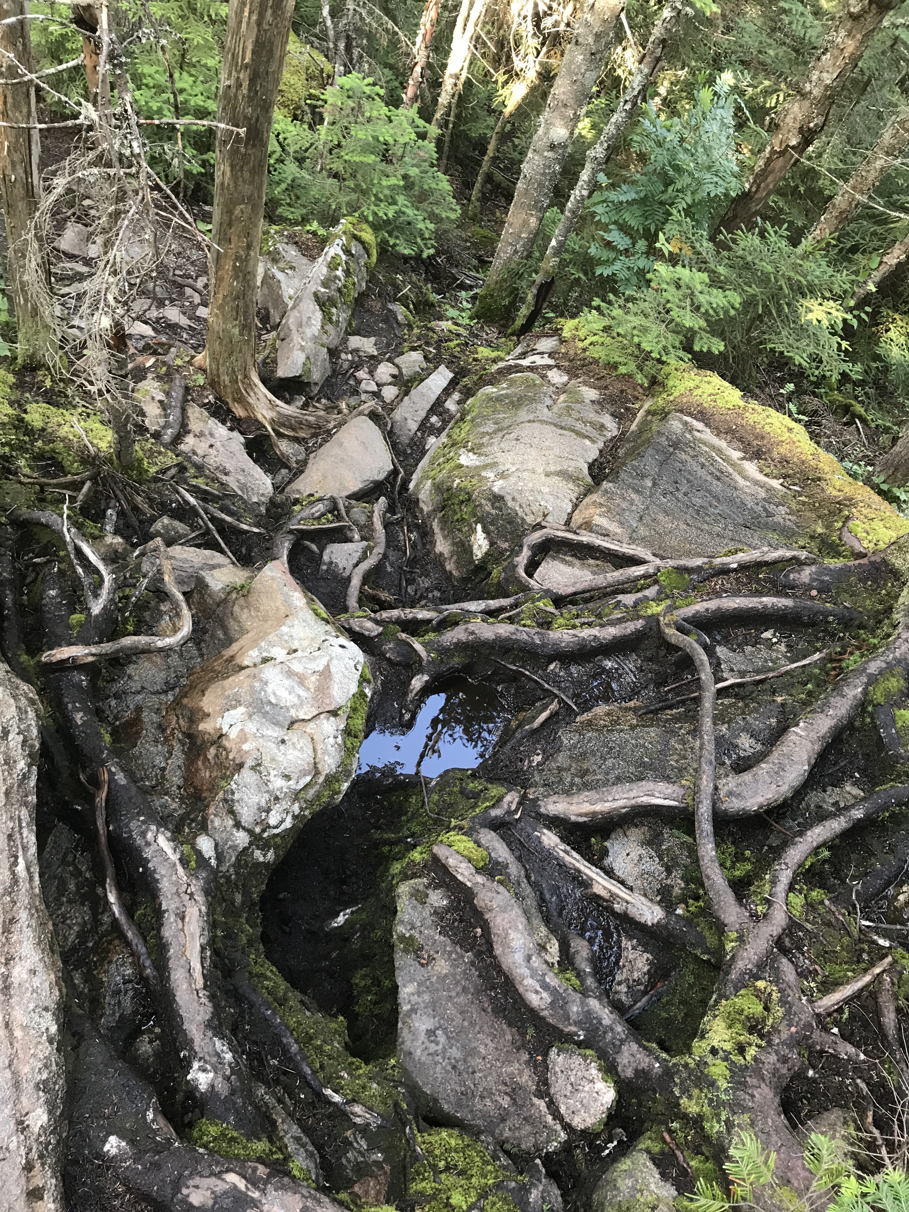
I griped and picked my way down the trail that had somehow devolved into an aggravating rocky mess with some incredibly steep sections. Here’s an example of one pesky spots (the perspective is strange, but I had to climb down this):
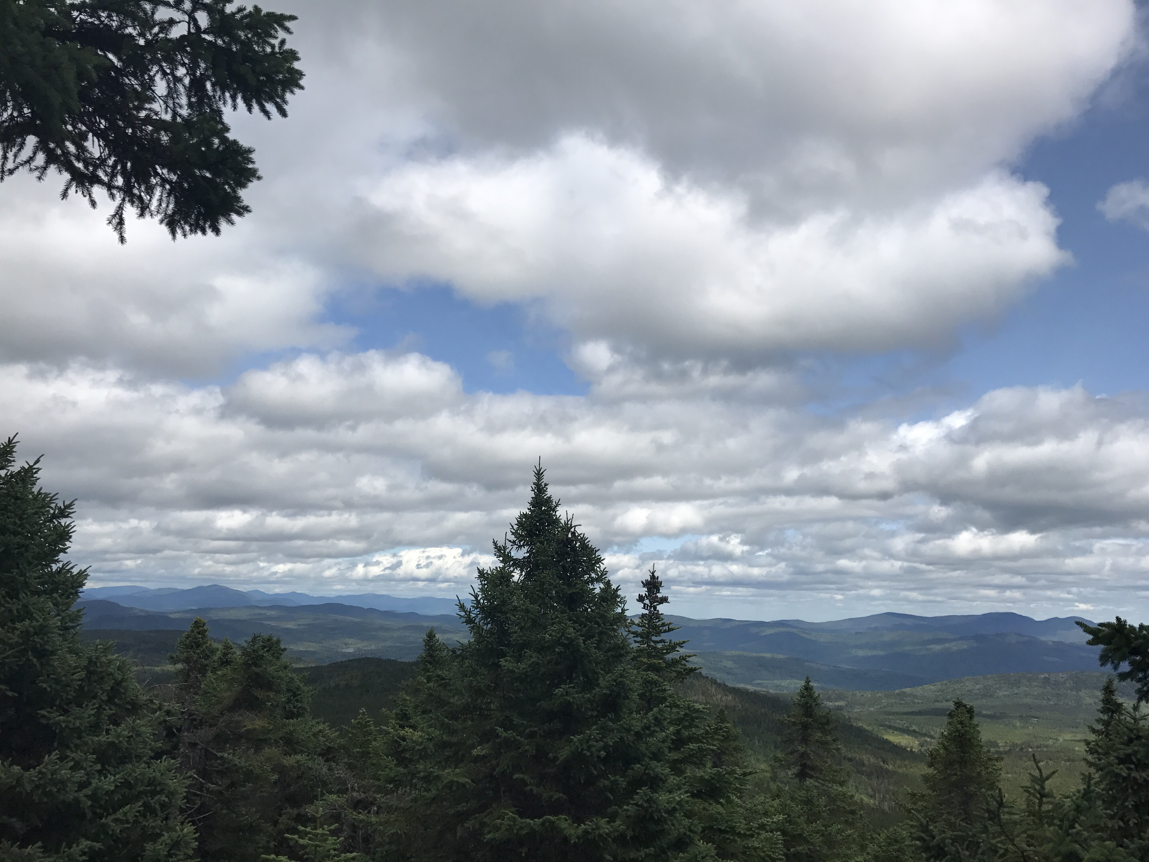
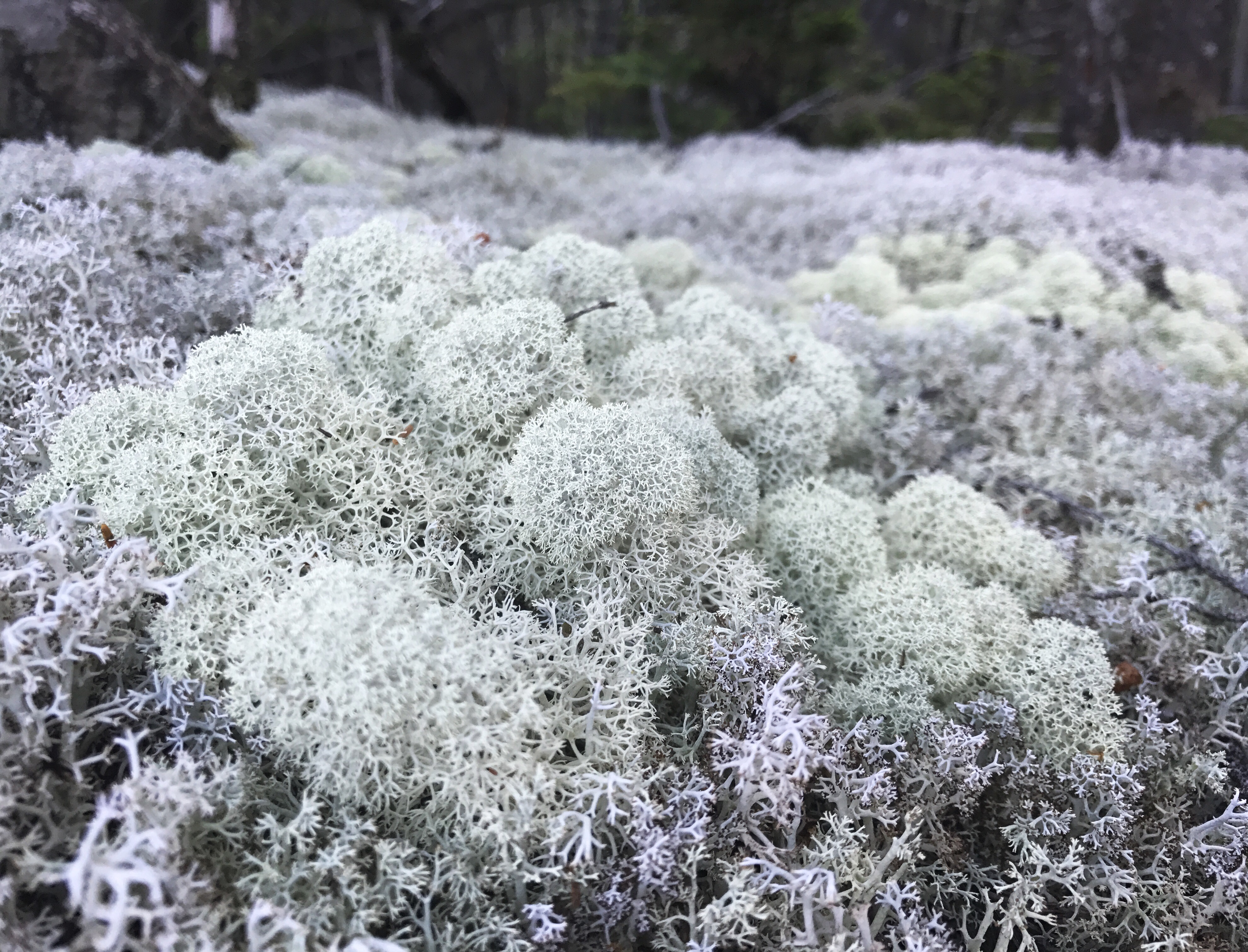
I finally made it to the shelter around 5:30p. I didn’t stop because I was only using it as a benchmark for how much longer I needed to walk. 3.6 miles left at that hour is far from ideal, but it’s doable. The trail didn’t get any easier so my attempts at “fast” hiking were only mildly successful. The trail near the second peak of bemis mountain, as its known, snakes through and endless network of exposed boulders. I had to work hard not to stop to take a hundred pictures like this:
I also had to avoid stopping every two feet to eat blueberries! Not to worry, I snacked on a fair share as I wound my way from one rock face to the next. I lamented the fact that I couldn’t stick around to watch sunset because of the incredible views of the surrounding mountains.
Somewhere in the boulder maze, I heard an odd sound that I mistook for a person. I quickly turned my hat back around (I had it on backwards because of the wind) and mentally prepared myself for a short interaction. I came around the corner, but there was no one to be found. I heard the high pitched noise again and looked around to find what I am pretty sure is a grouse sitting on a tree limb twittering at me. I stared at it and said aloud “what are you doing up there?” It was a beautiful brown speckled color with a quail like shape.
As I went into full-on rushing mode (aka hunger panic), a guy in his fifties passed me and tried to start a conversation about my hike. I brushed him off as politely as I could telling him I was in a hurry to get to camp. He knew of the tent sites by the stream and said that they were a great spot. What he should have said is that I would have to nearly stand on my head to get down the other side of bemis mountain. Dear god was it a steep and neverending descent. The slabs continued, then got steeper and then even steeper. Then came the rocks. The whole way down, I simultaneously cursed the mountain and thanked the weather because it would have been utterly miserable to do that descent on wet rocks. The grade was just too steep.
I finally made it to the unofficial tenting area around 7:45. Far later than I had hoped because of the painstaking climb down from bemis. I quickly set up my tent, forced myself to throw a bear line and fetched water from the stream around the bend. Then I put on water for dinner. I didn’t have any cold food options to fall back on, so I had to go through my full dinner routine. I sat on a rock in the waning light and ate my black beans and rice meal. The moon shone through the trees over my tent. Today was exhausting, and I feel amazed at my body’s ability to just keep going. My feet were mincemeat by the end, but they’re holding up much better than they used to (knock on wood). I’m finishing this to the sound of what I assume are chipmunks hopping around in the woods and the soft hum of the stream a few hundred yards away. Not too long ago a car went down the dirt road that’s adjacent to the tenting area. It felt disconcerting to see headlights from my tent, but there are other hikers camped around me, so I have the necessary false sense of security to be able to sleep.
Mile 1938.9 to mile 1955.3 (16.4)
Total miles: 952.1
Creature feature: the grouse and a green snake that I mistakenly thought was a stick until it slithered away to a safe distance and stared at me from the brush.

HOW’S THE ELBOW?
LikeLike
elbow is showing slow signs of healing while I continue to not use it AT ALL for the unforeseeable future. getting a new x-ray on 9/15 to re-evaluate whether I need surgery or can continue to dodge that bullet.
LikeLike
Ugh! so sorry about that 😦
LikeLike